Skip to main content
Maps in French
Close
Refine Results
Show Only Public Domain
Format
Map
(67)
Date
to
Names
Ode, Henri
(17)
Ph. Vandermaelen
(17)
Vandermaelen, Philippe, 1795-1869
(15)
Bellin, Jacques Nicolas, 1703-1772
(8)
Unknown
(4)
Tardieu, P. F.
(3)
Mallet, Allain Manesson, 1630-1706
(3)
Manesson-Mallet, Allain, approximately 1630-approximately 1706
(3)
Thierry, Denys, ?-1712
(3)
Blondel la Rougery
(2)
Load all
Subject
Maps
(66)
Cities and towns
(4)
Discovery and exploration
(4)
Cartes
(2)
Colonies
(2)
Fortification
(2)
Historical geography
(2)
Pictorial maps
(2)
Ramillies, Battle of, Belgium, 1706
(2)
Spanish Succession, War of, 1701-1714
(2)
Load all
Collection
Baldwin Collection of Canadiana
(67)
Language
French
(67)
English
(2)
Latin
(2)
Building, monument or park
Fort Frontenac
(1)
City, town or township
Arras
(1)
Kingston
(1)
Sort:
Relevance
Date (Older First)
Date (Newer First)
Title (A–Z)
Title (Z–A)
Last Updated (Ascending)
Last Updated (Descending)
List
Images
Table
Previous
/ 4
Filters
67
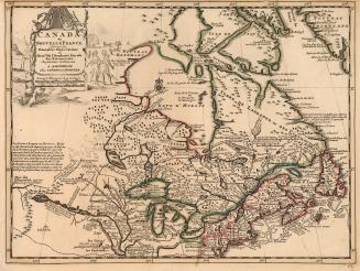
Canada, ou Nouvelle France
Approximately 1713
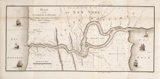
Plan de la cataracte de Niagara et l'isthme qui separe les Lacs Erie et Ontario.
1801
Plan de L'Isle de la Grenade, ou sont marques dans leur juste position le Ports et mouillages les Ville et Bourgs, les Rivieres, les Chemins Royaux et(...)
1763
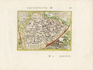
Salisburgensis Iurisdictio
Approximately1588
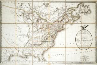
Map of the United States and Canada, New Scotland, New Brunswick and Newfoundland
1806
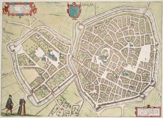
Arras
1581
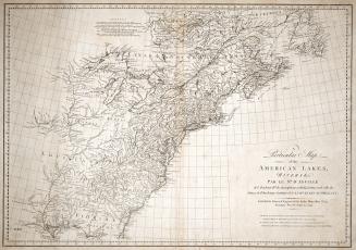
A particular map of the American Lakes, Rivers &c
1790
Previous
/ 4
RDF
XML
JSON