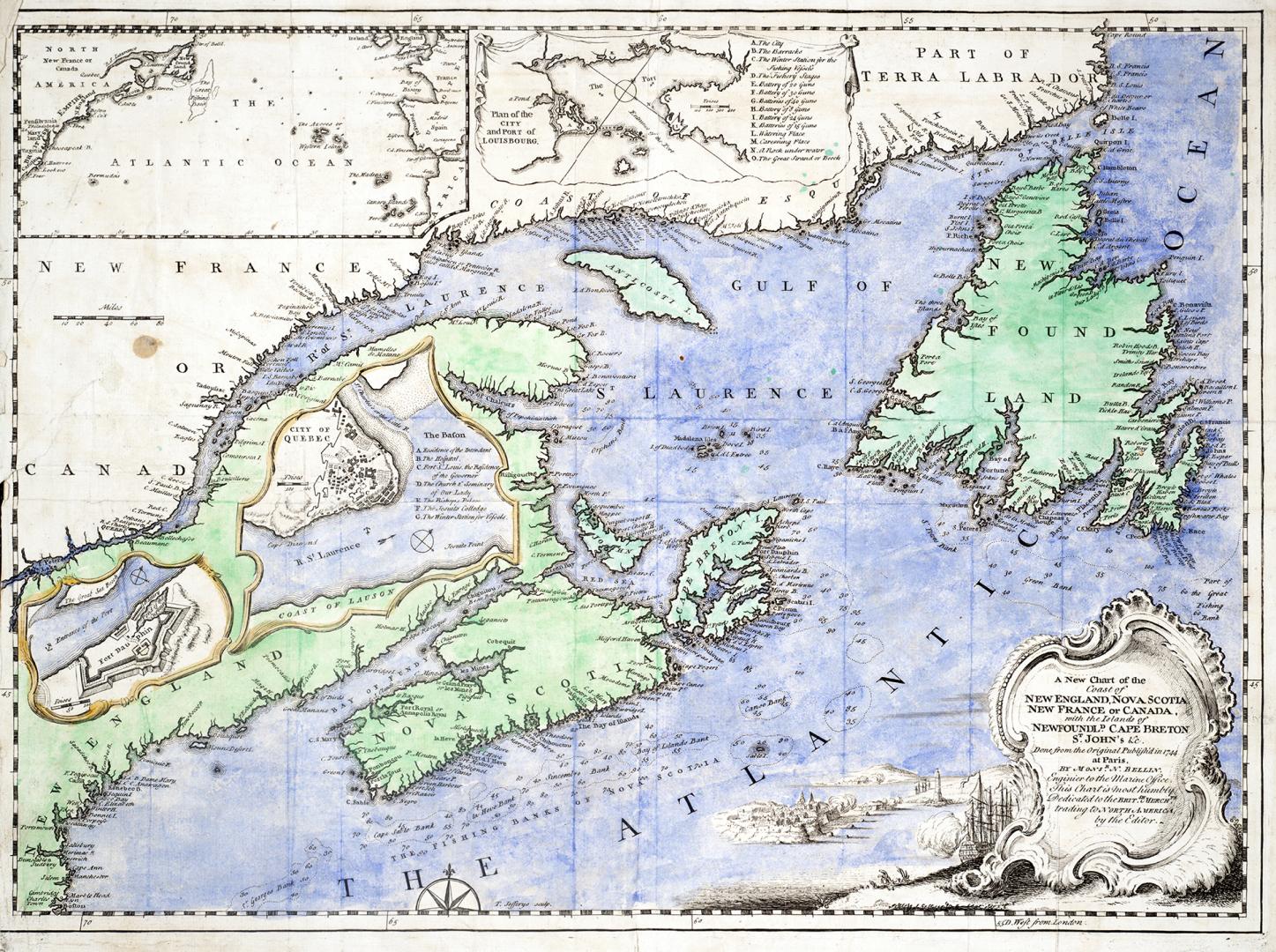

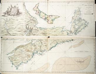
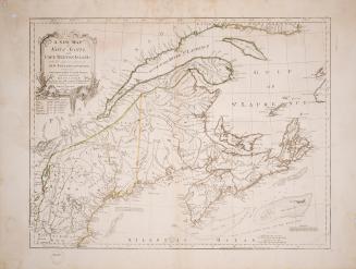
A new chart of the coast of New England, Nova Scotia, New France or Canada with the islands of Newfoundland, Cape Breton, St. John's &c.
Date1746
Names
Bellin, Jacques Nicolas, 1703-1772
(author)
FormatMap
NotesDone from the original published in 1744 at Paris.There are three copies of this map in the Baldwin Collection. Two with handcolouring and one in black & white.
Subject
Medium
Dimensions37 x 48 cm
Language
CollectionBaldwin Collection of Canadiana
Usage Rights
Public Domain
(Learn More)
Object Number912-71-B25-SMALL
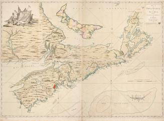
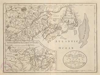
Montresor, John, 1736-1799
1768
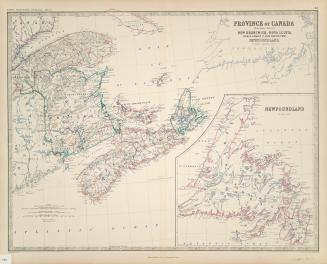
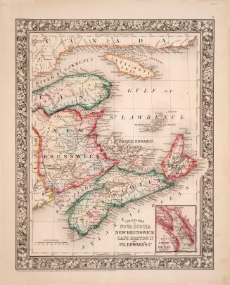
Johnston, Alexander Keith, 1804-1871
1861
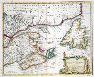
Bowen, Emmanuel, 1693?-1767
1747
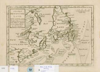
Grand Banks of Newfoundland Newfoundland and Labrador
1708
Mitchell, S. Augustus (Samuel Augustus), 1792-1868
1860
Jefferys, Thomas, -1771
1755
Robert de Vaugondy, Gilles, 1688-1766
1755

Cary, John, approximately 1754-1835
1807
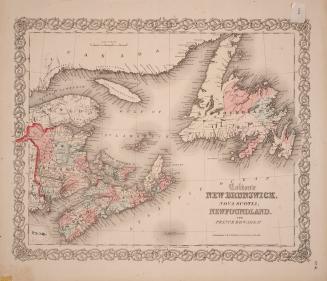
Colton, Joseph Hutchins, 1800-1893
1855
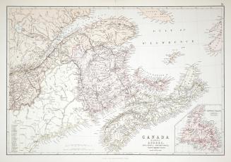
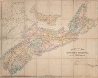
Blackie & Son, Limited
1880