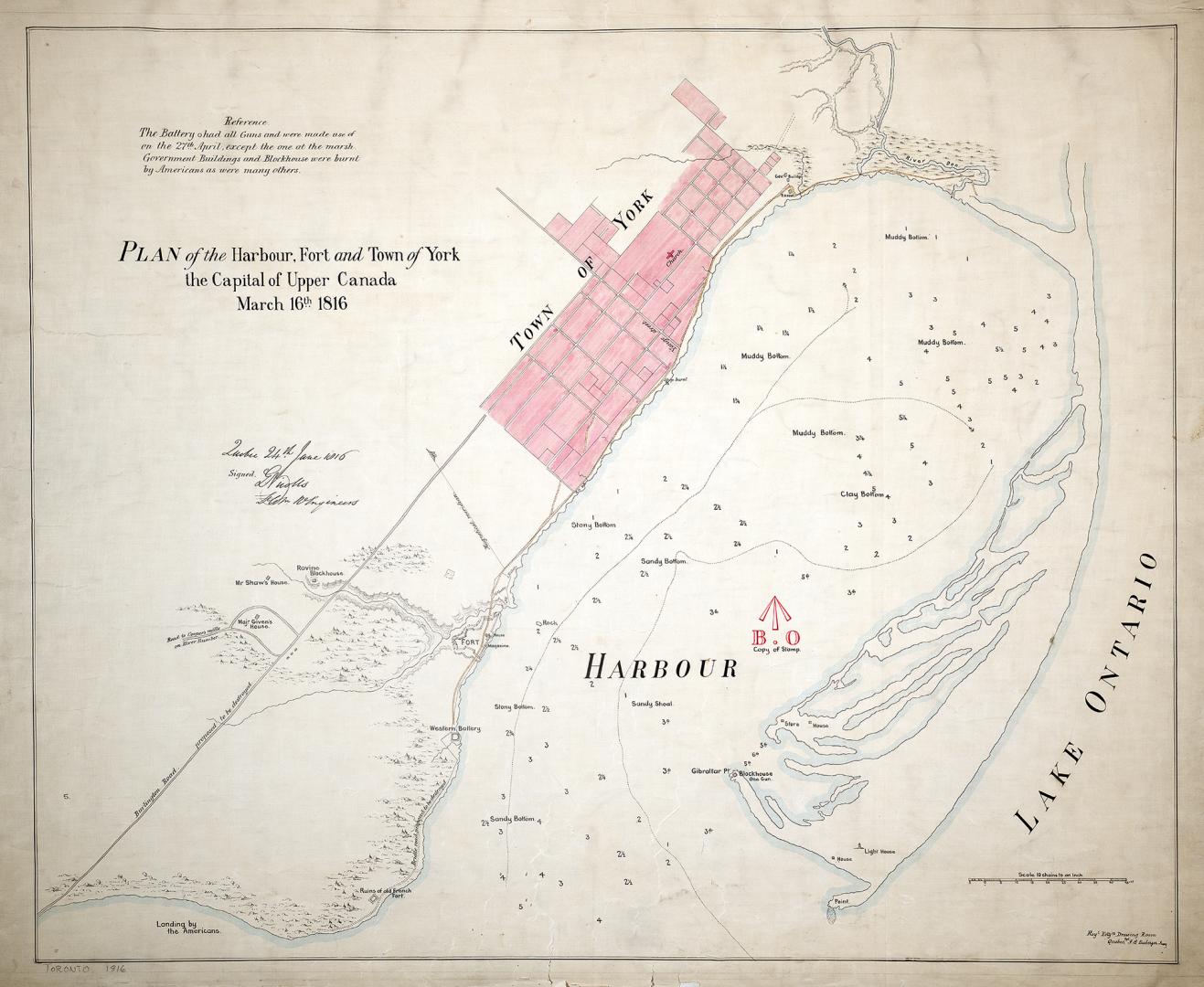

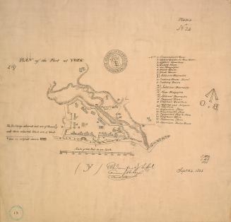
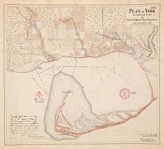
(1816) Plan of the harbour, fort and town of York, the capital of Upper Canada, March 16th 1816
DateApproximately 1908
Names
Nicolls, Gustavus
(cartographer)
Royal Engineers Office (Quebec)
(publisher)
Robertson, J. Ross (John Ross), 1841-1918
(contributor)
FormatMap
NotesApproximately 1908 reproduction of original 1816 map from the Archives Department, Ottawa (current day Library and Archives Canada).Shows buildings, harbour depths and descriptions of harbour bottom. Includes reference that The Battery had all guns and were made use of on the 27th of April, except the one at the marsh. Government buildings and blockhouse were burnt by Americans as were many others. Indicates place of landing of the Americans.
Dimensions85.5 cm x 103 cm (33 11/16 in. x 40 9/16 in.)
Scale1 inch = 10 chains
Language
ProvenanceGift of John Ross Robertson
CollectionBaldwin Collection of Canadiana
Usage Rights
Public Domain
(Learn More)
Object NumberT-1816-1-LARGE
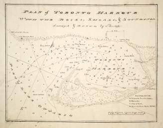
Bayfield, H. W.
Approximately 1908
Philpotts, George, -1853
1907
1759
Nicolls, Gustavus
Approximately 1908
![No. 1 plan of commandant's quarters [1823]](/internal/media/dispatcher/2109868/thumbnail)