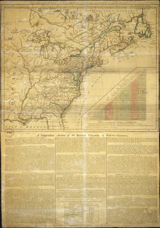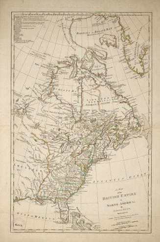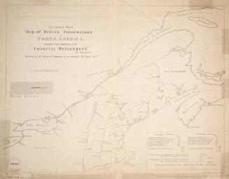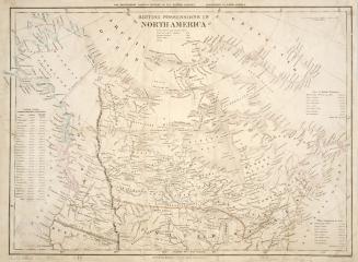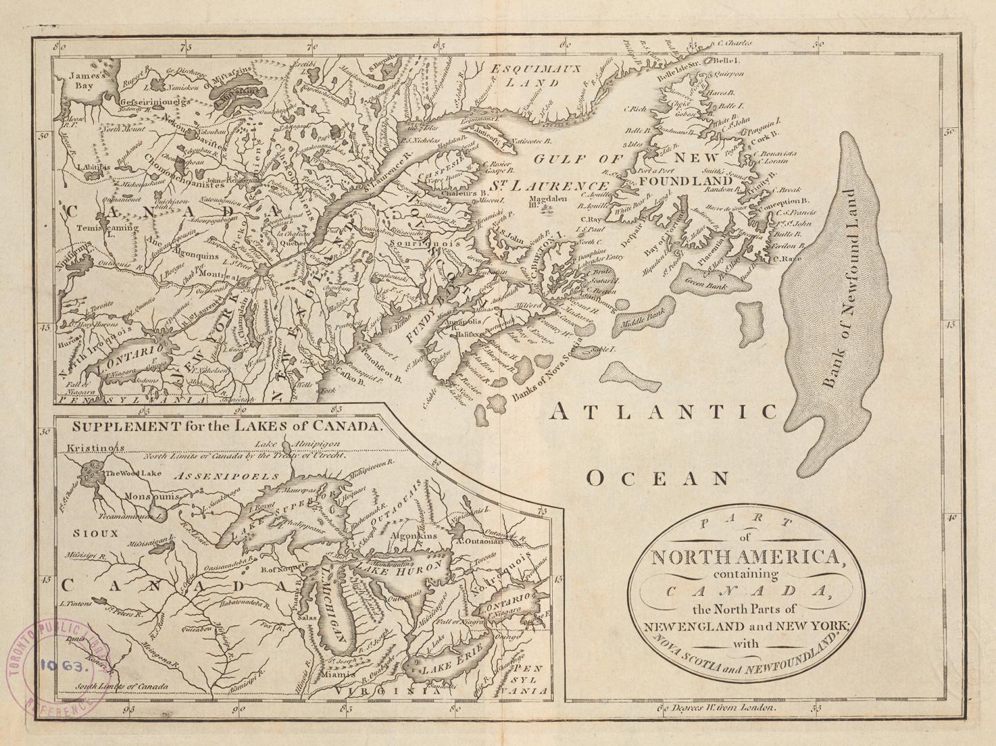

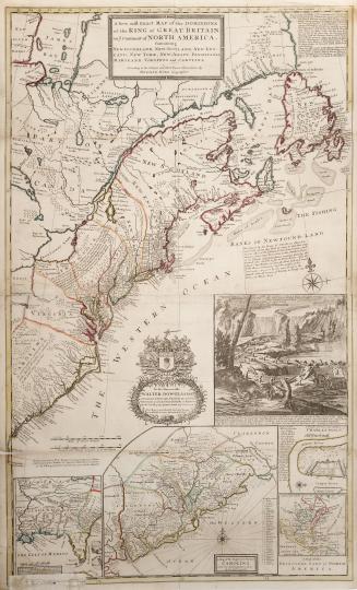
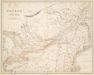
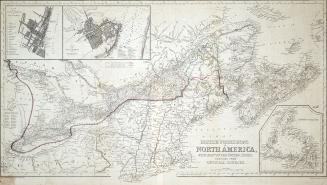
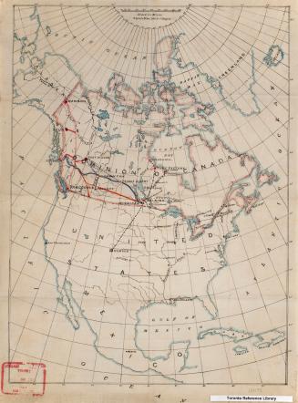
Part of North America, containing Canada, the north parts of New England and New York, with Nova Scotia and Newfoundland
Date1755
Names
Robert de Vaugondy, Gilles, 1688-1766
(cartographer)
FormatMap
GeographyProvince or StateNewfoundland and LabradorNew YorkNew BrunswickQuébecNova ScotiaPrince Edward Island
Medium
Dimensions26.5 cm x 39 cm (10 7/16 in. x 15 3/8 in.)
Language
CollectionBaldwin Collection of Canadiana
Usage Rights
Public Domain
(Learn
More)
Object Number912-71-R57-2-SMALL
Approximately 1905