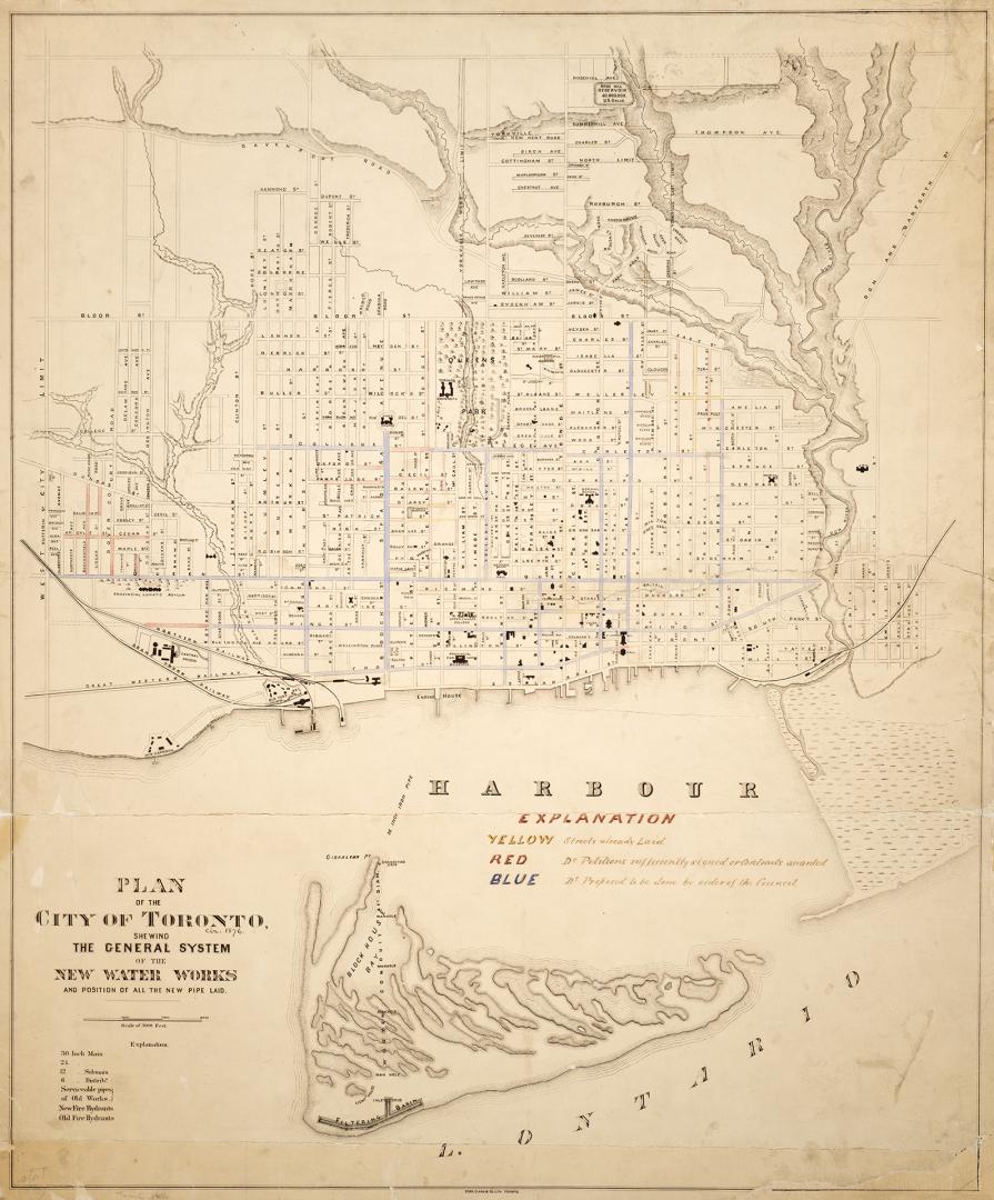

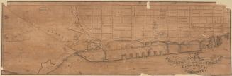
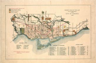
Plan of the City of Toronto, shewing the general system of the new water works and position of all the new pipe laid
Date1876
Names
Copp Clark Company
(lithographer)
Copp Clark Company
(publisher)
FormatMap
NotesPlan of Toronto from Dufferin St. to the Don River, and south from St. Clair Ave. to the Harbour. Includes Island. Manuscript annotations dated c. 1876 show pipes already laid, as well as those planned and proposed.
Dimensions78 cm x 64.5 cm (30 11/16 in. x 25 3/8 in.)
Scale3 inches = 3000 feet
Language
CollectionBaldwin Collection of Canadiana
Usage Rights
Public Domain
(Learn More)
Call Number / Accession NumberMsX.1921.11
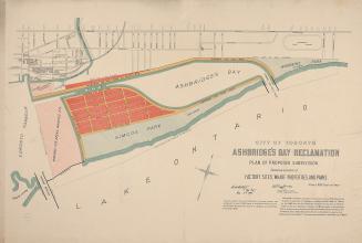
City Engineer's Office
11 November 1882
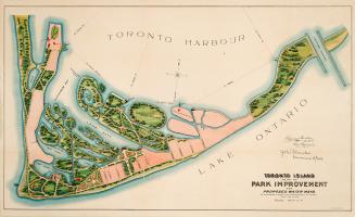
Chambers, John (Commissioner of Parks)
1903
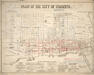
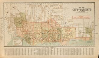
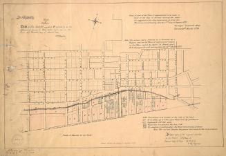
Browne, John Ownsworth, 1808-1881
1853
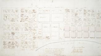
Rordans and Carter, Law Stationers & Lithographers
1860
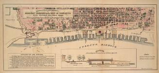

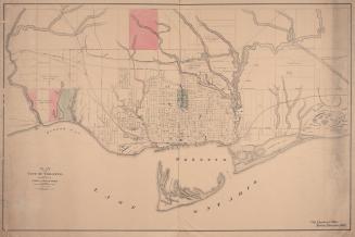
Unwin, Charles, 1829-1918
1864