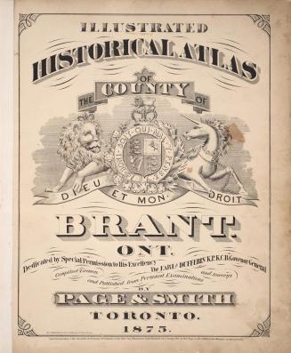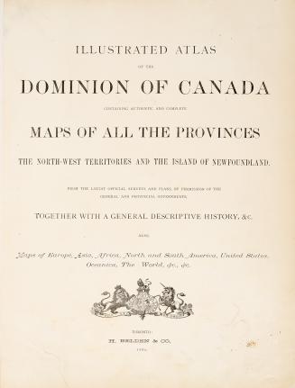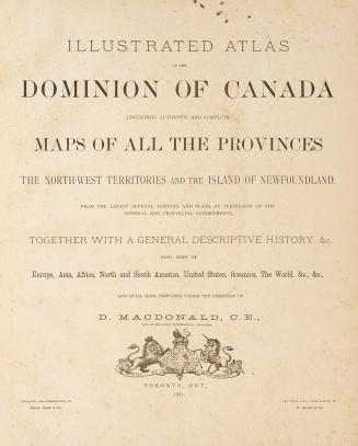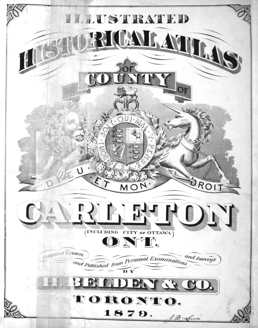

Illustrated historical atlas of the county of Carlton (including city of Ottawa), Ont
Date1879
Names
Format
Compiled, drawn and published from personal examinations and surveys by H. Belden & Co.
Country:Canada
City, town or township:Ottawa
Province or state:Ontario
Medium
DimensionsCover size: 45 cm (17 11/16 in.)
Extent
- 1 atlas (lv, 70 pages) : illustrations, maps (some color), plans, portraits
Language
CollectionBaldwin Collection of Canadiana
Usage Rights
Public Domain
(Learn More)
Call Number / Accession Number37131099667966D
Dewey Number912.7138 B25 Folio
Catalogue Record for Print Bookhttps://www.torontopubliclibrary.ca/detail.jsp?Ntt=411988