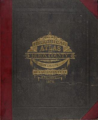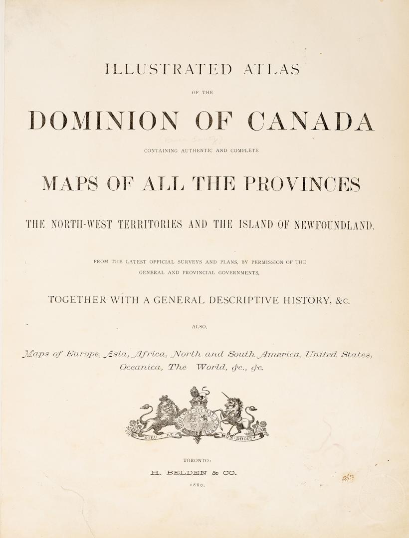

Illustrated atlas of the Dominion of Canada, containing authentic and complete maps of all the provinces, the North-West Territories and the island of Newfoundland, from the latest official surveys and plans, by permission of the general and provincial governments, together with a general descriptive history, &c., also maps of Europe, Asia, Africa, North and South America, United States, Oceania, the World, &c., &c.
Date1880
Names
H. Belden & Co.
(publisher)
H. Belden & Co.
(issuing body)
Alternate Title
- [Bruce County edition]
Format
Country:Canada
County:Bruce (Ont. : County)
Province or state:Ontario
Medium
DimensionsCover size: 43 cm (16 15/16 in.)
Extent
- 1 atlas (liii, 14 unnumbered pages, 114 pages, 9 pages, 1 unnumbered page) : illustrations, maps (some color), plans, portraits
Language
CollectionBaldwin Collection of Canadiana
Usage Rights
Public Domain
(Learn More)
Call Number / Accession Number37131099667842D
Dewey Number912.71 B25.13 Folio
Catalogue Record for Print Bookhttps://www.torontopubliclibrary.ca/detail.jsp?Ntt=1203602
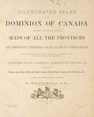
![[Prospectus] New official atlas of the Dominion of Canada, compiled, by permission, from the latest officiat and private surveys, revised and correcte(...)](/internal/media/filedispatcher/742135/thumbnail)