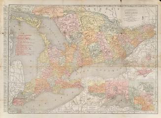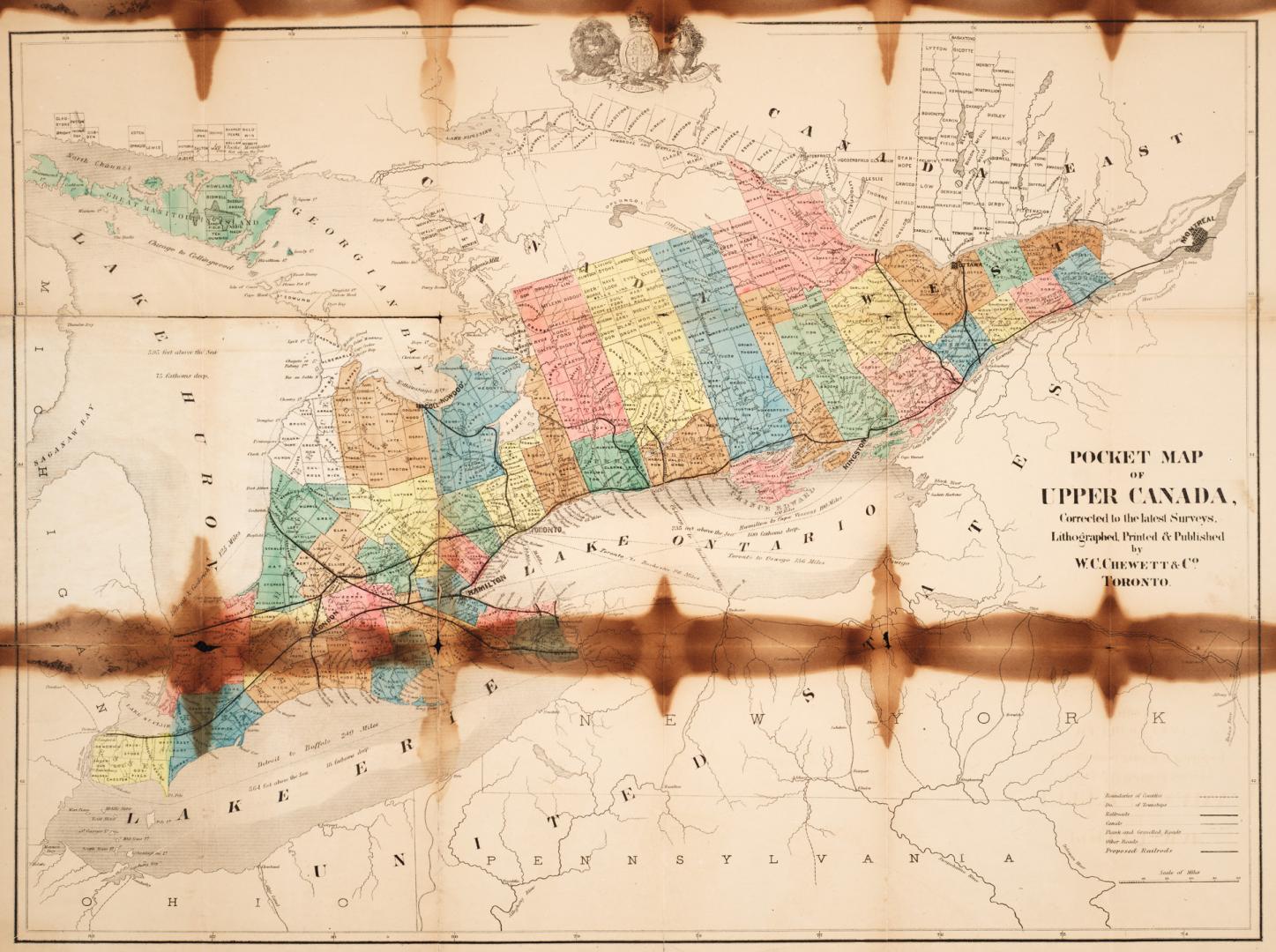

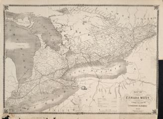
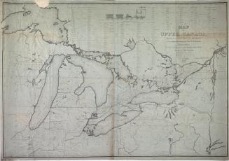
Pocket map of Upper Canada corrected to the latest surveys
Date1865
Names
W.C. Chewett & Co.
(publisher)
W.C. Chewett & Co.
(author)
FormatMap
Medium
Dimensionsunfolds to 46 x 63 cm
Language
CollectionBaldwin Collection of Canadiana
Usage Rights
Public Domain
(Learn More)
Object Number912-713-C342-3-SMALL
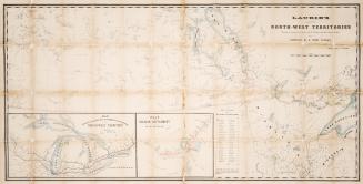
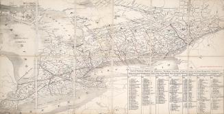
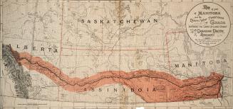
Canada. Department of Agriculture
1870
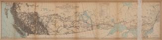
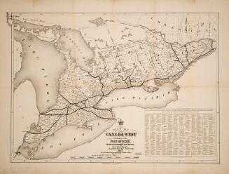
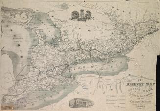
Fleming, Sandford, Sir, 1827-1915
1877
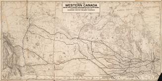
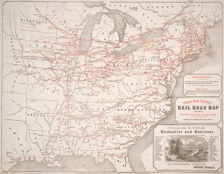
John Smyth (Toronto, Ont.)
1837