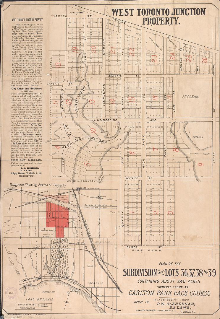

Plan of the subdivision of parts of lots 36, 37, 38 and 39 containing about 240 acres formerly known as Carlton Park Race Course.
Date1883
Names
Unwin, Browne & Sankey
(surveyor)
Alexander, Clare & Cable Lithographing (Toronto, Ont.)
(lithographer)
FormatMap
NotesNames of a few land owners. Insert diagram showing the position of the property. Apply to D. W. Clendenan and D. J. Laws 10 Equity Chambers, 20 Adelaide Street East, Toronto.
Dimensions84 cm x 58 cm (33 1/16 in. x 22 13/16 in.)
Language
CollectionBaldwin Collection of Canadiana
Usage Rights
Public Domain
(Learn More)
Object NumberT-1883-LARGE
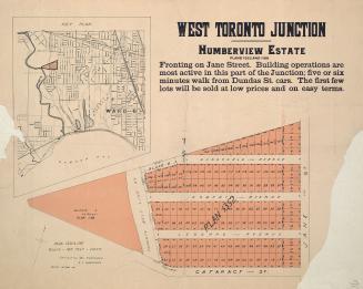
Alexander & Cable Lithographing Co. Ltd
1884

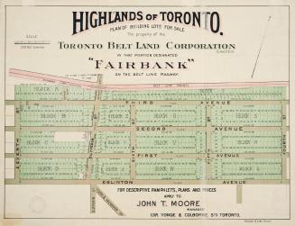
Alexander & Cable Lithographing Co. Ltd
1890

Alexander & Cable Lithographing Co. Ltd
1885
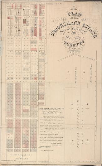
Unwin, Browne & Sankey
1880


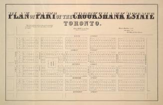
Browne, John Ownsworth, 1808-1881
1855
Alexander & Cable Lithographing Co. Ltd
1910
Unwin, Browne & Sankey
1886