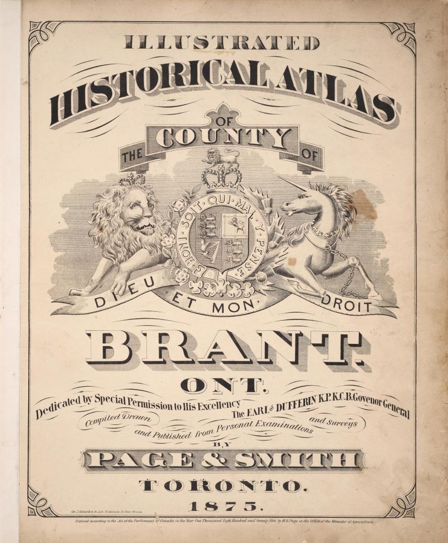

Illustrated historical atlas of the county of Brant, Ont
Date1875
Names
Geo. J. Gebhardt & Co.
(lithographer)
Page & Smith
(publisher)
Page & Smith
(issuing body)
Page & Smith
(cartographer)
FormatBook
NotesDedicated by special permission to His Excellency the Earl of Dufferin K.P.K.C.B. Governor General compiled, drawn, and published from personal examinations and surveys by Page & Smith
Medium
DimensionsCover size: 43 cm (16 15/16 in.)
Language
CollectionBaldwin Collection of Canadiana
Usage Rights
Public Domain
(Learn More)
Object Number37131099667784D
Catalogue Record for Print Book
https://www.torontopubliclibrary.ca/detail.jsp?Ntt=439235