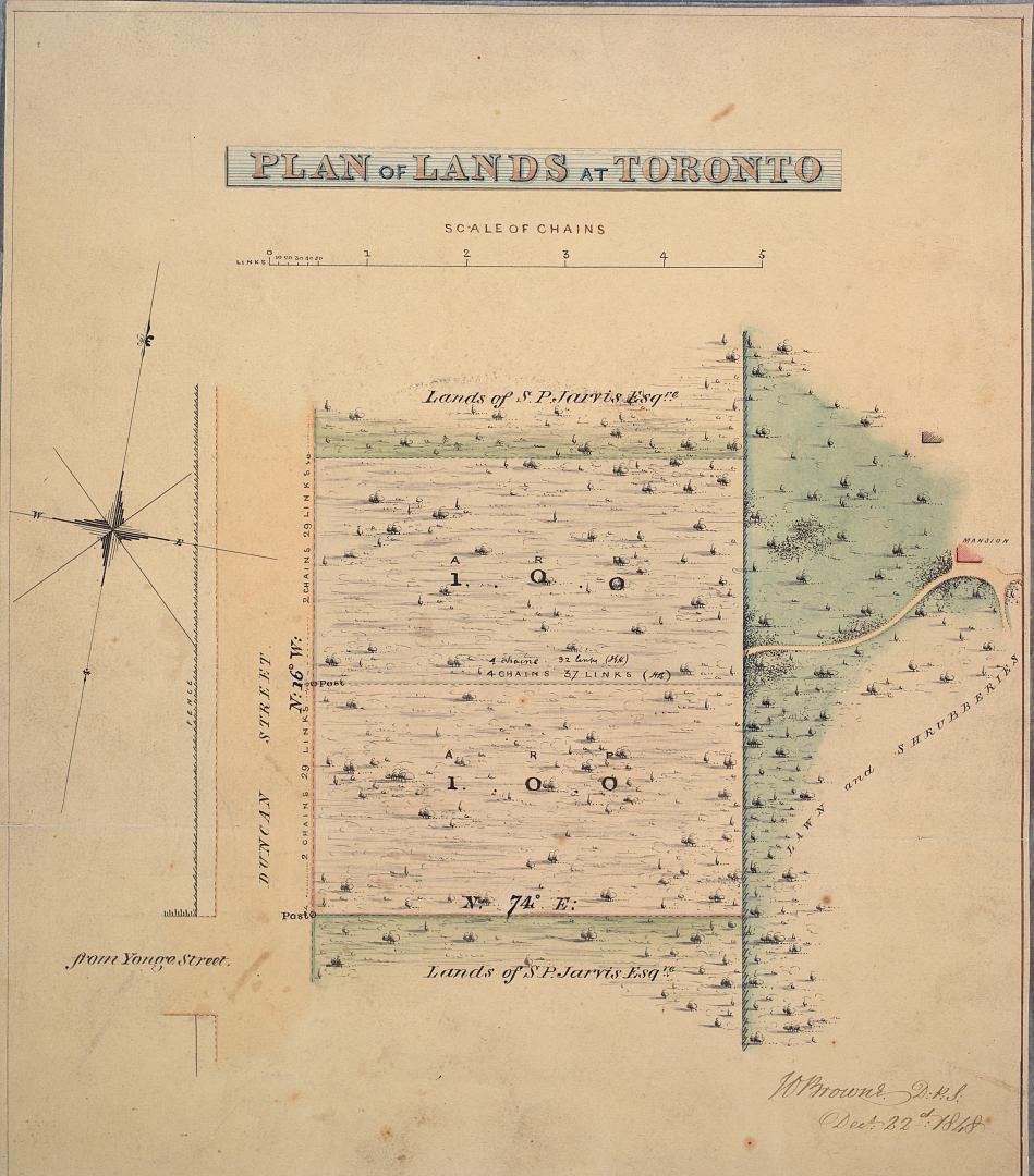

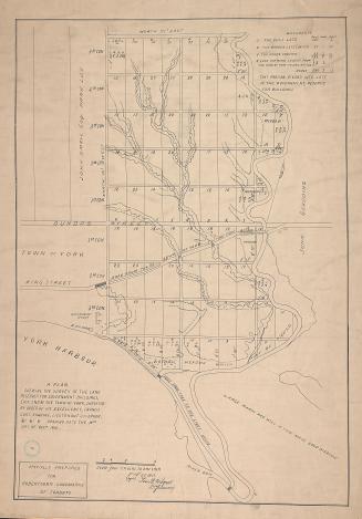
Plan of lands at Toronto
Date1848
Names
Browne, John Ownsworth, 1808-1881
(cartographer)
Jarvis, Samuel Peters, 1792-1857
(subject)
Browne, John Ownsworth, 1808-1881
(surveyor)
FormatMap
NotesPlan shows the lands of Samuel Peters Jarvis east of Yonge and Wellesley Street E.
Dimensions22 cm x 26 cm (8 11/16 in. x 10 1/4 in.)
Scale5 inch = 5 chains
Language
CollectionBaldwin Collection of Canadiana
Usage Rights
Public Domain
(Learn More)
Object NumberMsX.1921.3
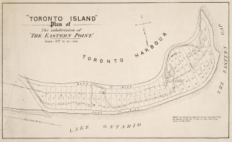
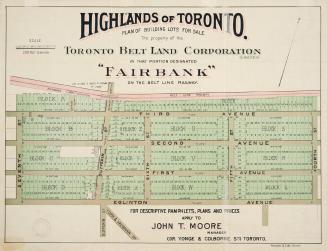
Castle, Henry James
Approximately 1908
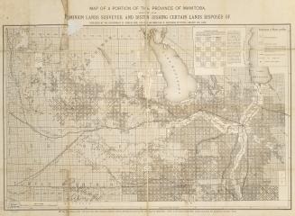
Canada. Department of Agriculture
1882
Alexander & Cable Lithographing Co. Ltd
1910

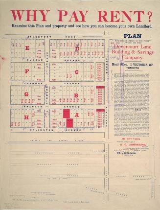
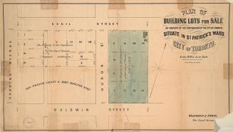
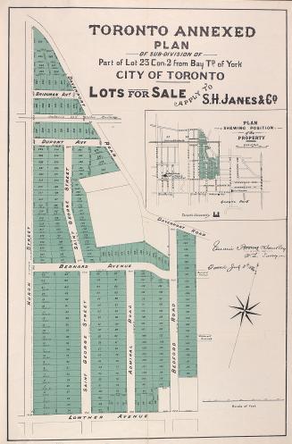
Dovercourt Land, Building & Savings Co
1885
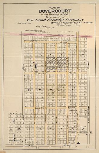
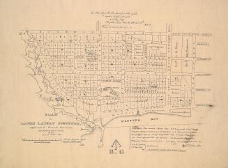
Unwin, Browne & Sankey
1882
Wilmot, Samuel Street, 1774-1856
Approximately 1908


Unwin, Browne & Sankey
1886