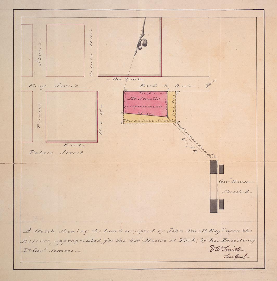

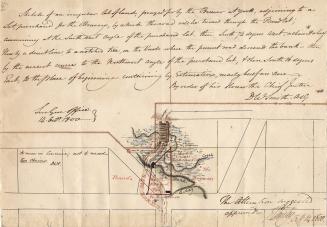
A sketch shewing the land occupied by John Small Esqr
Date1802
Names
Small, John, 1746-1831
(subject)
Smyth, David William, Sir, 1764-1837
(contributor)
Smyth, David William, Sir, 1764-1837
(author)
FormatMap
Subject
Medium
Dimensions||Indeterminable||24 x 23 cm; sheet 33 x 32 cm||
Language
CollectionBaldwin Collection of Canadiana
Usage Rights
Public Domain
(Learn More)
Object NumberMAPS-R-142
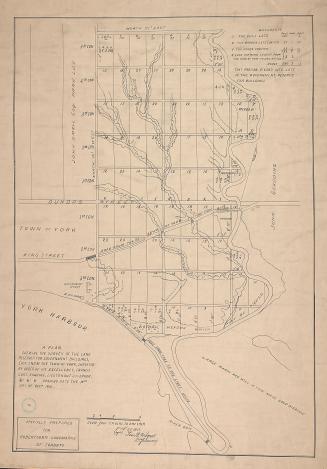
Wilmot, Samuel Street, 1774-1856
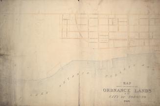
Approximately 1908
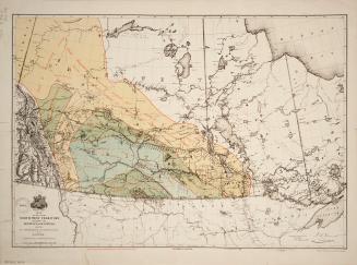
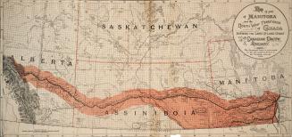
Canada. Department of the Interior
1878
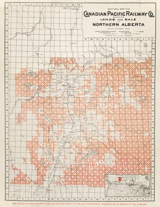
Canadian Pacific Railway Company
1902
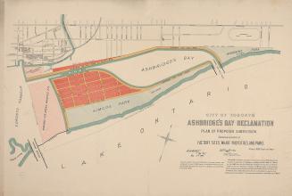
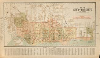
Boulton, W. S. (William Sommerville), 1830-1860
1858


Unwin, Charles, 1829-1918
1864
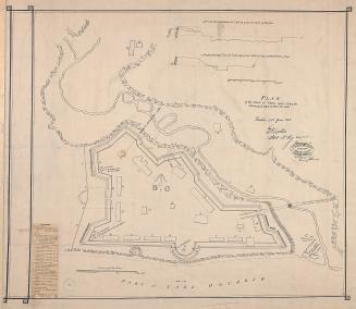
Nicolls, Gustavus
Approximately 1908
