Skip to main content
Expand
Share
Order Reproduction
Download
1920 x auto
(full)
IIIF
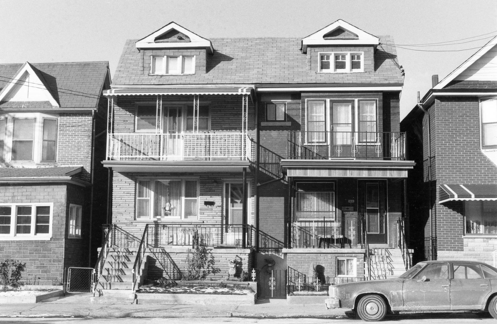
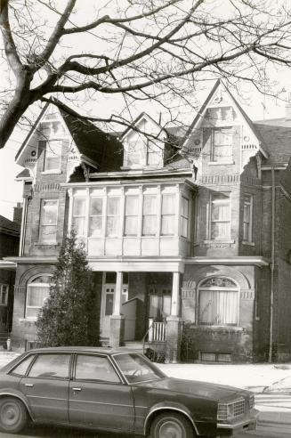
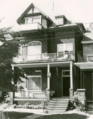
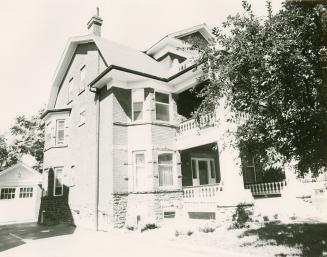
Lappin Avenue, north side, between Emerson Avenue and St. Clarens Avenue, Toronto, Ont.
Previous
Next
1920 x auto
(full)
Lappin Avenue, north side, between Emerson Avenue and St. Clarens Avenue, Toronto, Ont.
Date
1980
Names
Unknown
(author)
Format
Picture
Subject
Dwellings
Streets
Geography
City, town, township
Toronto
Geography
Neighbourhood
Dovercourt
Geography
East-west street
Lappin Avenue
Geography
Province state
Ontario
Geography
Country
Canada
Medium
Undefined
Language
No linguistic content
Collection
Local History Collection, Bloor/Gladstone branch
Usage Rights
Public Domain (
Learn More
)
Object Number
LOCHIST-BL-097
RDF
XML
JSON
Discover More
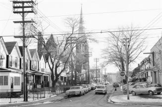
St. Clarens Avenue looking south from College Street to Dundas Street West, showing St. Helen's Church, Toronto, Ont.
Unknown
1980
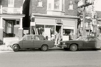
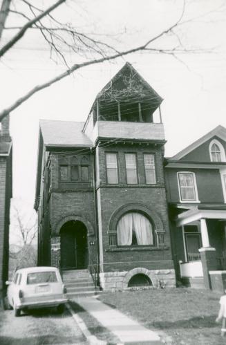
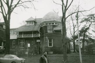
St. Clarens Avenue, northwest corner of College Street, Toronto, Ont.
Unknown
1980
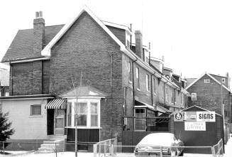
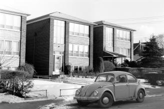
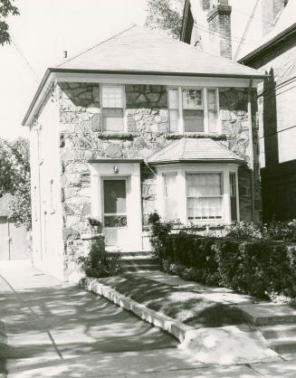
Lappin Avenue, northwest corner of Emerson Avenue, Toronto, Ont.
Unknown
1980
Sylvan Avenue, north side, between Havelock Street and Gladstone Avenue, Toronto, Ont.
Unknown
1980
Gladstone Avenue, east side, between Lindsey Avenue and Sylvan Avenue, Toronto, Ont.
Unknown
1980
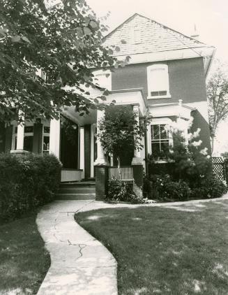
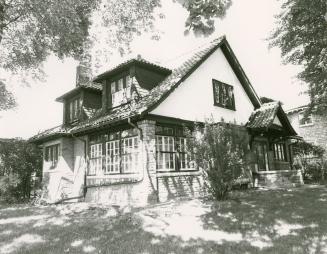
Melbourne Avenue, north side, between Elm Grove Avenue and Cowan Avenue, Toronto, Ontario
Unknown
1979
Melbourne Avenue, north side, between Elm Grove Avenue and Cowan Avenue, Toronto, Ontario
Scott, Peter
1981
Melbourne Avenue, north side, between Elm Grove Avenue and Cowan Avenue, Toronto, Ontario
Scott, Peter
1981
Melbourne Avenue, north side, between Gwynne Avenue and Elm Grove Avenue, Toronto, Ontario
Scott, Peter
1981
King Street West, north side, between Dowling Avenue and Maynard Avenue, Toronto, Ontario
Unknown
1979
High Park Boulevard, north side, between Roncesvalles Avenue and Sunnyside Avenue, Toronto, Ontario
Scott, Peter
1981
High Park Boulevard, north side, between Roncesvalles Avenue and Sunnyside Avenue, Toronto, Ontario
Scott, Peter
1981