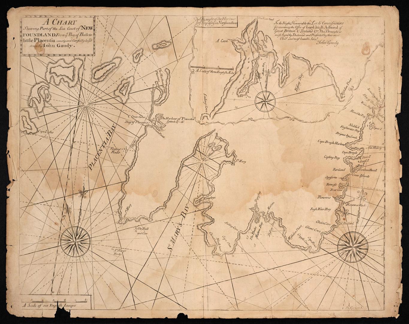

A chart shewing part of the sea coast of Newfoundland from ye Bay of Bulls to little Placentia exactly and carefully laid down by John Gaudy
DateApproximately 1775
Names
Gaudy, John
(cartographer)
FormatMap
Subject
Medium
Dimensions9 x 14 cm (3 9/16 x 5 1/2 in.)
Language
CollectionBaldwin Collection of Canadiana
Usage Rights
Public Domain
(Learn More)
Object Number912-19634-G134-SMALL
Antonio Francesco Lucini, 1605-
1647
Keulen, Johannes van, 1654-1715
Approximately 1695
Doncker, Hendrick, 1626-1699
1660
Bowen, Emmanuel, 1693?-1767
1744