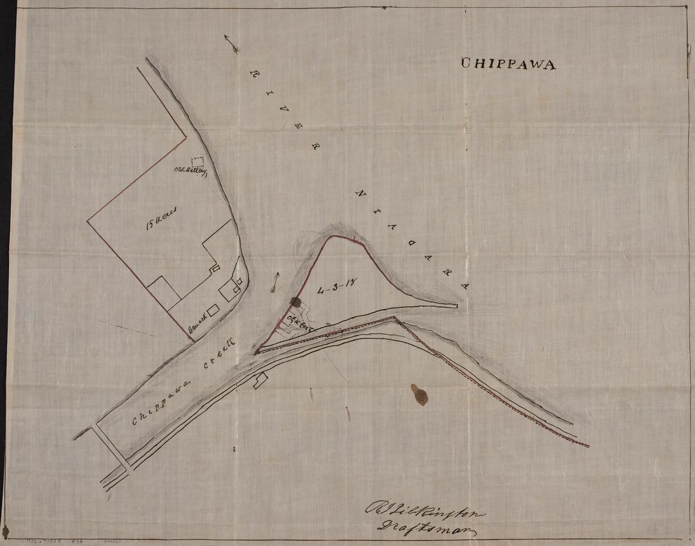

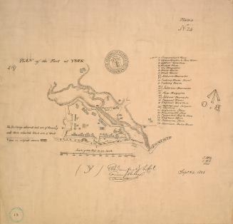
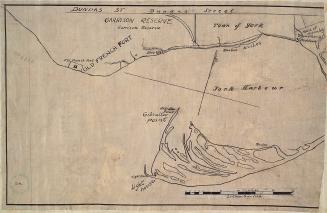
Chippawa (circa 1790)
DateApproximately 1910
Names
Pilkington, Robert 1765-1834
(cartographer)
Pilkington, Robert 1765-1834
(draftsman)
FormatMap
NotesApproximately 1910 reproduction of original map from approximately 1790. In 1793, Chippawa Creek became the Welland River. Fort Chippawa was renamed Fort Welland.
Medium
Dimensions31 cm x 39 cm (12 3/16 in. x 15 3/8 in.)
Language
CollectionBaldwin Collection of Canadiana
Usage Rights
Public Domain
(Learn More)
Object Number912-71338-P38-SMALL
1759
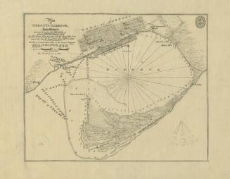
Bayfield, H. W.
Approximately 1908
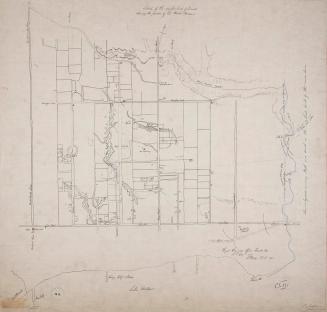
Nicolls, Gustavus
Approximately 1908
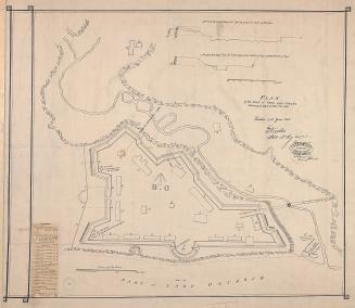
Philpotts, George, -1853
1907

Nicolls, Gustavus
Approximately 1908