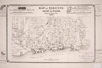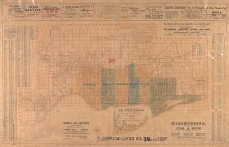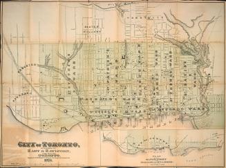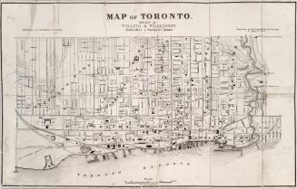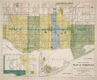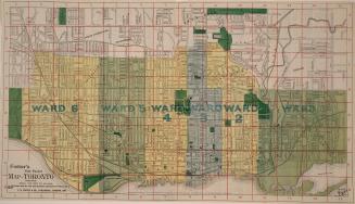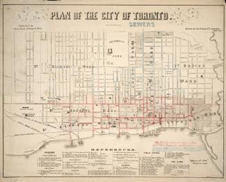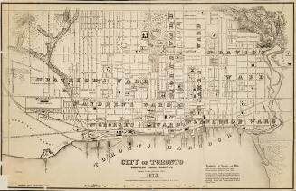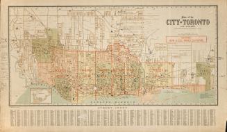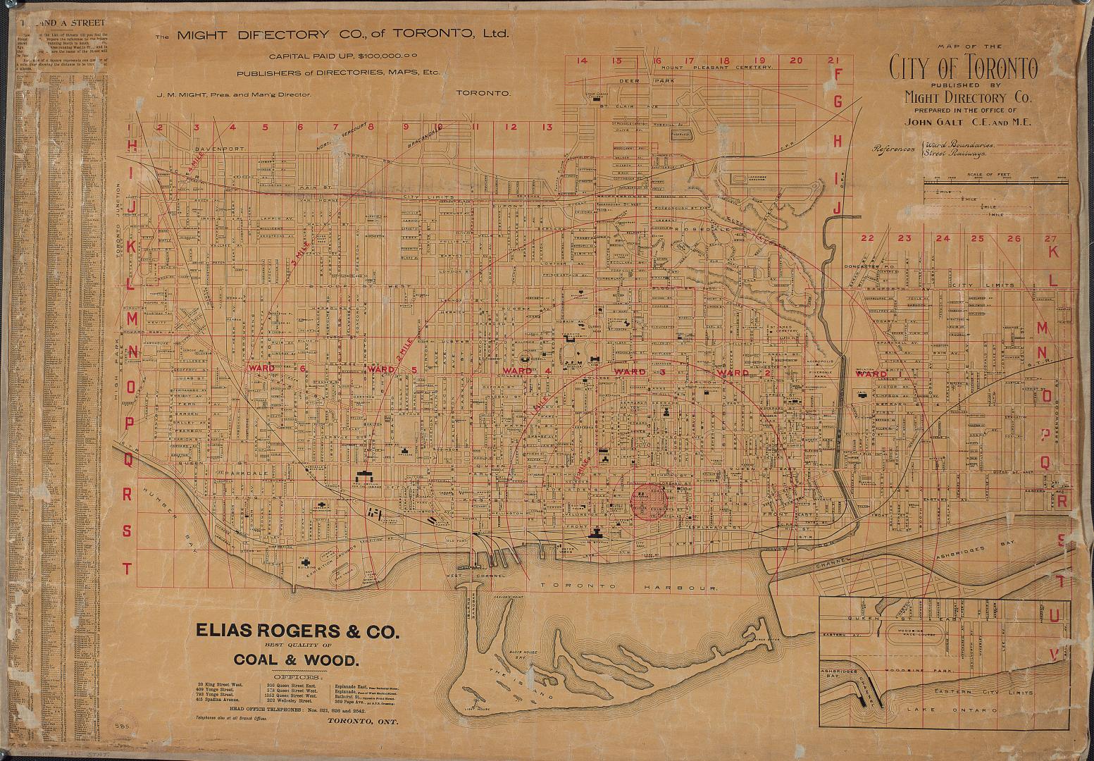

Map of the city of Toronto published by Might Directory Co. prepared in the office of John Galt, C. E. and M. E.
Date1895
Names
FormatMap
NotesIncludes street index. Includes ward boundaries and street railways.
Dimensions77 cm x 109 cm (30 5/16 in. x 42 15/16 in.)
Scale1 inch = 1000 feet
Language
CollectionBaldwin Collection of Canadiana
Usage Rights
Public Domain
(Learn More)
Call Number / Accession NumberT-1895-LARGE