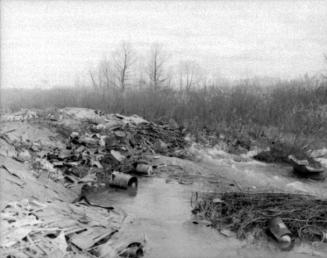

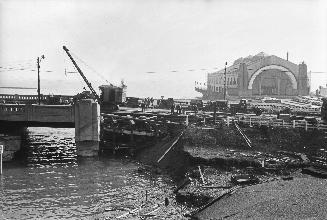
Humber River, looking north from Islington Avenue, e
Date1954
Names
Salmon, James V. (James Victor)
(photographer)
FormatPicture
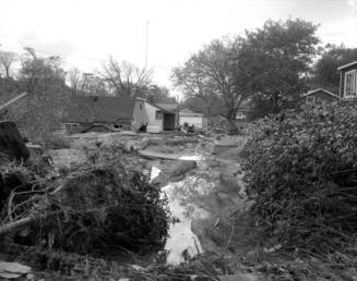
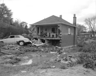
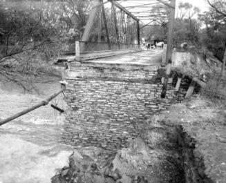
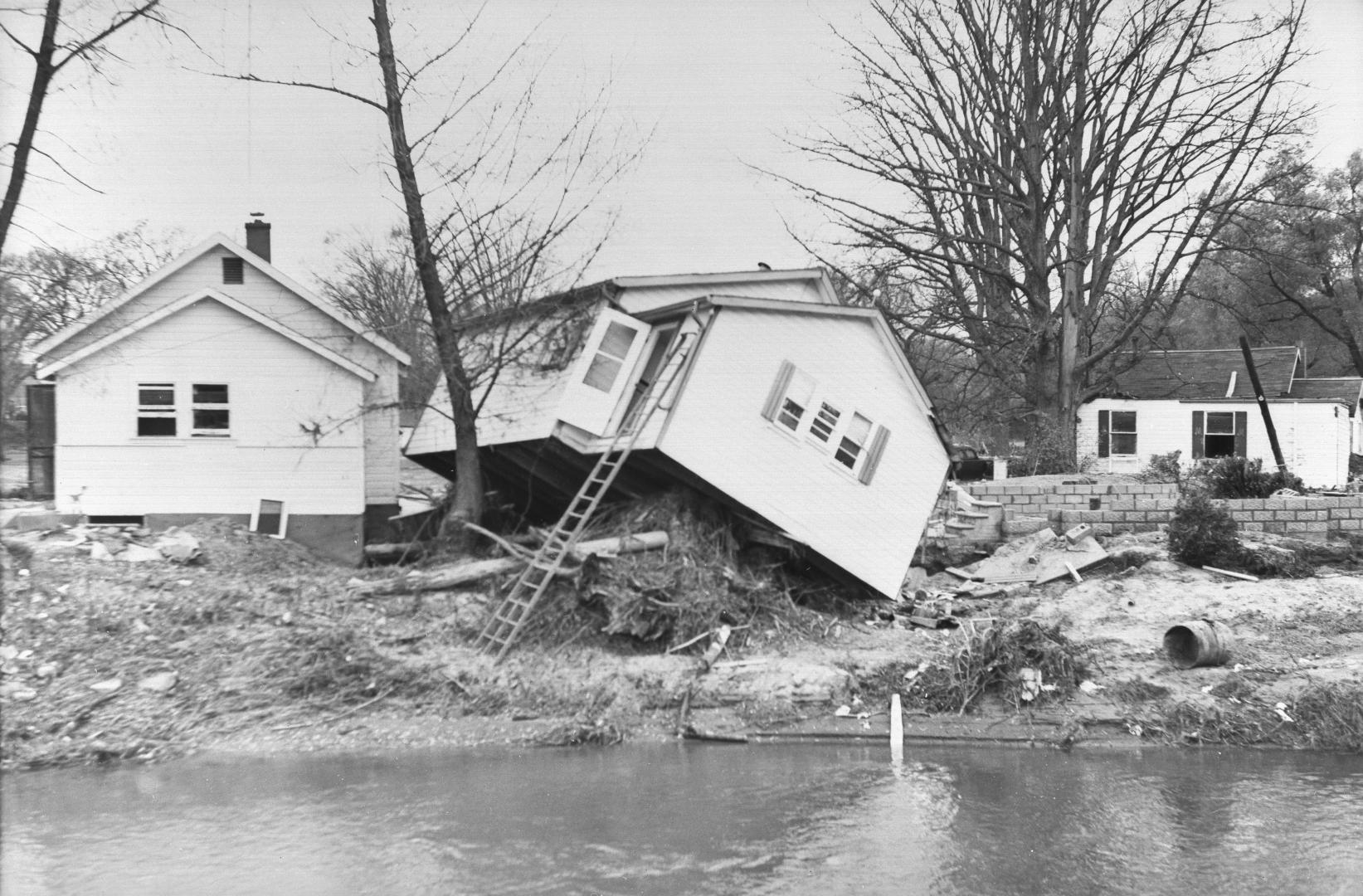
NotesHumber River, looking north from Islington Ave., east of Woodbridge (Vaughan, Ontario).
Medium
Dimensions62 x 91 mm
Language
CollectionBaldwin Collection of Canadiana
Usage Rights
Public Domain
(Learn More)
Object NumberPICTURES-R-381
Salmon, James V. (James Victor)
1954
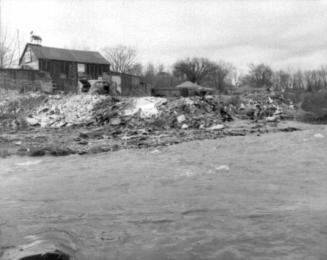
Salmon, James V. (James Victor)
1953
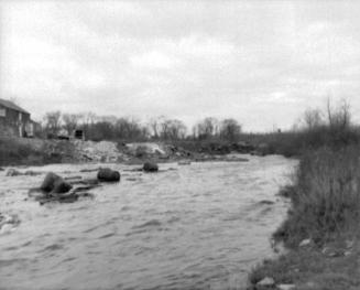
Salmon, James V. (James Victor)
1954
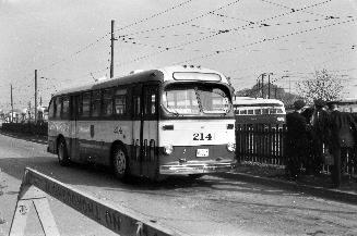
Salmon, James V. (James Victor)
1954