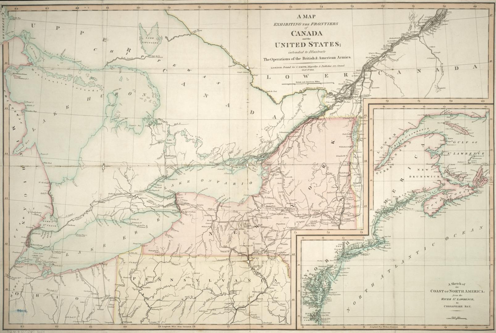

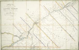
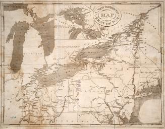
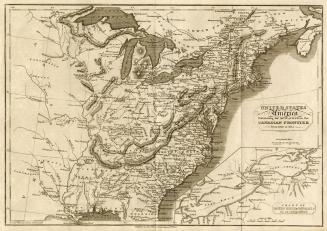
A map exhibiting the frontiers of Canada and the United States, intended to Illustrate the Operations of the British and American Armies
Date1813
Names
C. Smith
(publisher)
Smith, Charles
(cartographer)
FormatMap
NotesInset A sketch of the coast of North America; from the River St. Lawrence, to Chesapeake Bay
Subject
Medium
Dimensions51 cm x 76 cm (20 1/16 in. x 29 15/16 in.)
Scale25 miles to one inch
Language
CollectionBaldwin Collection of Canadiana
Usage Rights
Public Domain
(Learn More)
Object Number912-71S51-SMALL
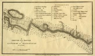
Brock, Isaac, Sir, 1769-1812
1813

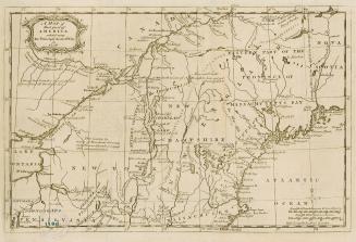
Nicolls, Gustavus
Approximately 1908
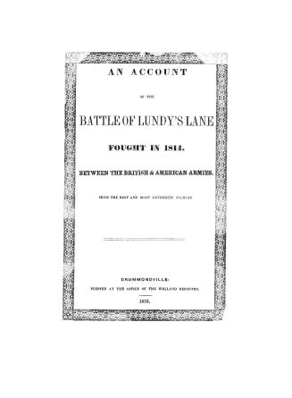
Drummond, Gordon, Sir, 1772-1854
1853