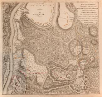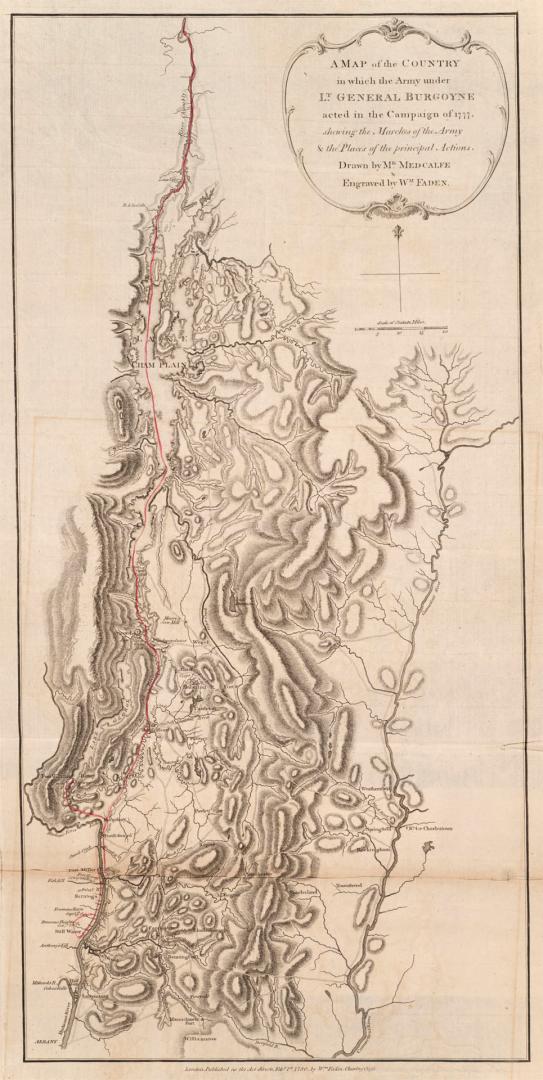

A map of the country in which the army under Lt. General Burgoyne acted in the campaign of 1777, shewing the marches of the army and the places of the principal actions
Date1780
Names
FormatMap
Dimensions70.5 cm x 37 cm (27 3/4 in. x 14 9/16 in.)
ScaleBar scale (statute miles)
Scale1 inch = 10 miles
Language
ProvenanceGift of James Bain family, 2008
CollectionBaldwin Collection of Canadiana
Usage Rights
Public Domain
(Learn
More)
Object Number912-747-F11-BAIN