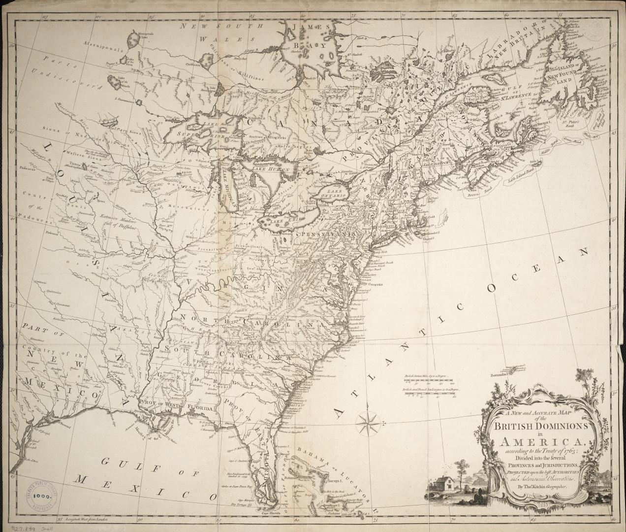

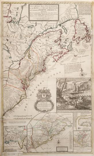
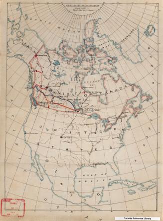
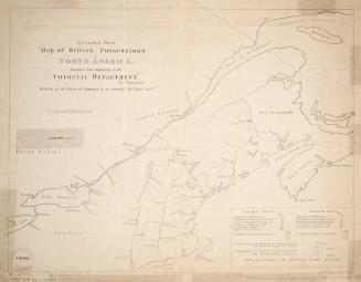
A New and Accurate Map of the British Dominions in America, according to the Treaty of 1763; Divided into the several provinces and jurisdictions, Projected upon the best Authorities and Astronomical Observations
Date1763
Names
Kitchin, Thomas, 1718-1784
(cartographer)
Kitchin, Thomas, 1718-1784
(engraver)
FormatMap
NotesMedium
Dimensions56 cm x 63 cm (22 1/16 in. x 24 13/16 in.)
ScaleBritish statute miles 69 to a degree
Language
CollectionBaldwin Collection of Canadiana
Usage Rights
Public Domain
(Learn More)
Call Number / Accession Number912-7-K39-MEDIUM
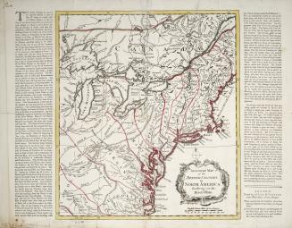
Overton, Henry, 1706-1764
Approximately 1760
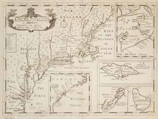
Unknown
Approximately 1840


J. Nourse & P. Vaillant
1755
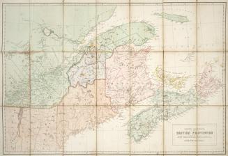
J.H. Bufford & Co's Lith, Boston
1827