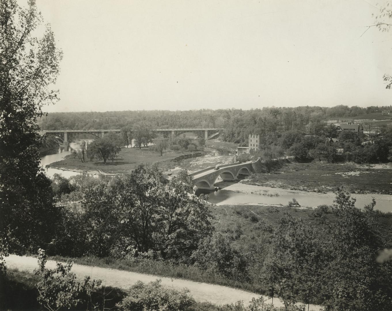

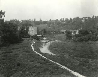
Old Mill Rd., looking west to bridge across Humber River between Catherine St. & Old Mill Rd., with Bloor St. bridge in background, taken from west end of Lessard Ave., showing Belt Line right-of-way in foreground, Toronto, Ontario
Date1925-09
Names
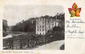
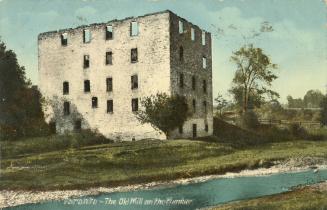
Gamble, William
(subject)
Pringle & Booth
(photographer)
FormatPicture
NotesOld Mill Rd., looking west to bridge across Humber River between Catherine St. and Old Mill Rd., with Bloor St. bridge in background; taken from west end. of Lessard Avenue, showing Belt Line right-of-way in foreground, Toronto, Ontario
Medium
Language
CollectionBaldwin Collection of Canadiana
Usage Rights
Public Domain
(Learn More)
Object Number980-9-494
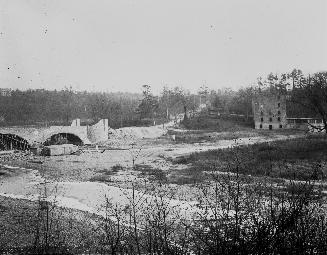
Gamble, William
approximately 1918
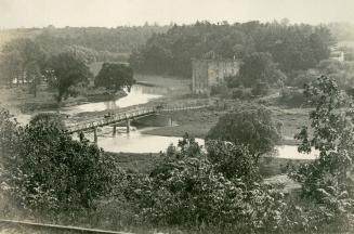
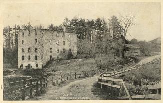
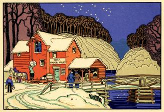
Blakey, Joseph Adamson, 1870-1937
1905 circa
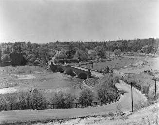
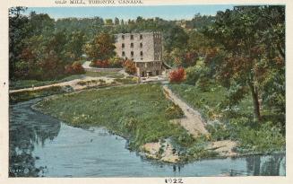
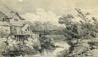
Hick's Boat & Canoe Livery (Toronto, Ont.)
1925-09