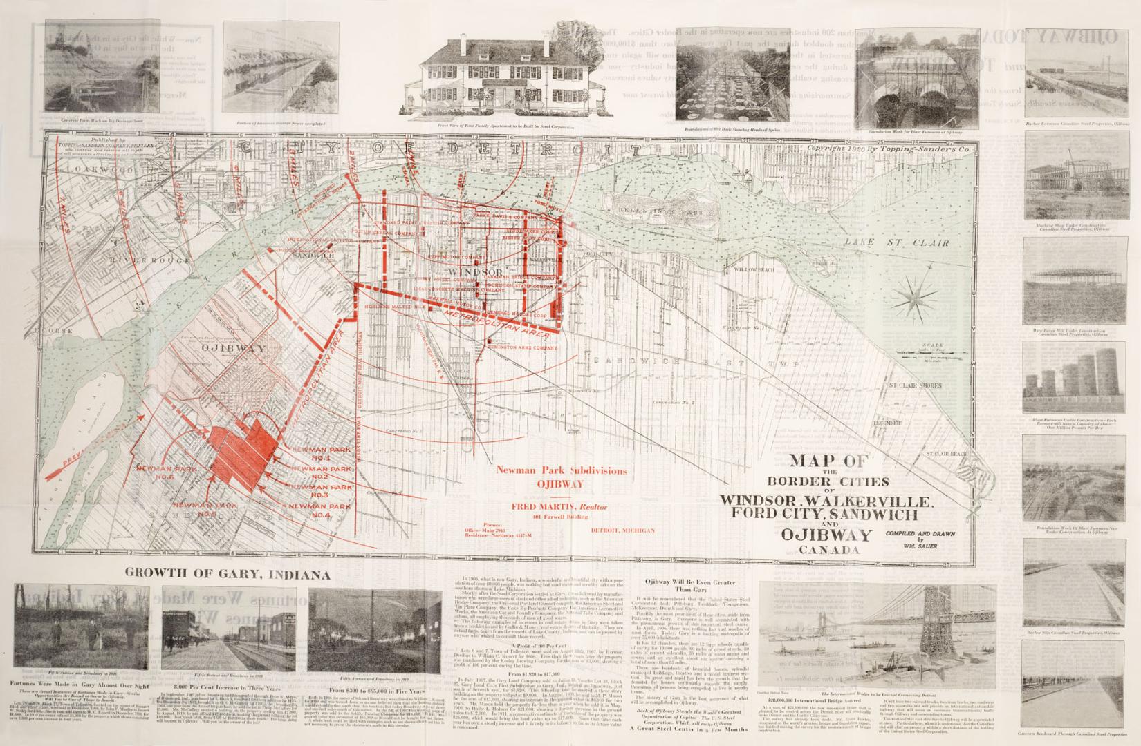

Map of the Border Cities of Windsor, Walkerville, Ford City, Sandwich and Ojibway Canada
Date1920
Names
Sauer, William C.
(cartographer)
Topping-Sanders Company
(publisher)
FormatMap
NotesOn verso, planning map of Ojibway, with houses, house numbers, with planning and real estate information. Also includes an article on the growth and development of Gary Indiana, and a promise that Ojibway will be even greater than Gary. Fred Martin, Realtor, Newman Park Subdivisions, Ojibway.
Dimensions55.5 cm x 86 cm (21 7/8 in. x 33 7/8 in.)
Language
CollectionBaldwin Collection of Canadiana
Usage Rights
Public Domain
(Learn More)
Object Number912-7133-S134
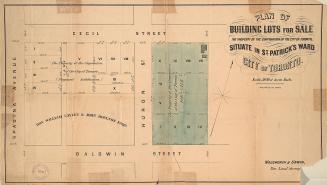

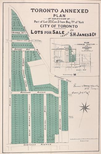
Unwin, Browne & Sankey
1886
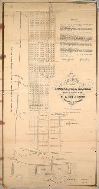
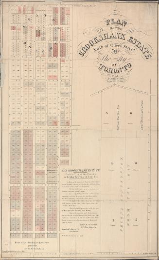
Dennis, John Stoughton, 1820-1885
1853
Alexander & Cable Lithographing Co. Ltd
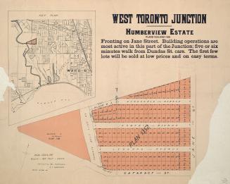
1900

Alexander & Cable Lithographing Co. Ltd
1890


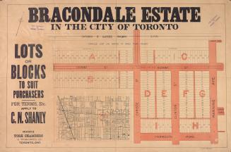
Browne, John Ownsworth, 1808-1881
1855
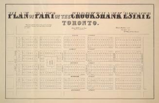
Alexander & Cable Lithographing Co. Ltd
1885