
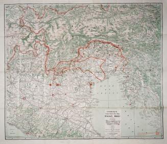
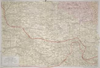
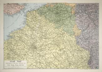
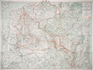
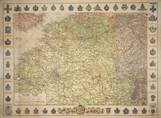
The imperial war map
Date1915 circa
Names
Imperial Life Assurance Co. of Canada
(publisher)
Unknown
(author)
FormatMap
Subject
Medium
Dimensions27 x 41 cm. folded to 15 x 8 cm.
Language
CollectionBaldwin Collection of Canadiana
Usage Rights
Public Domain
(Learn More)
Call Number / Accession Number940-41022-I52-FOLD
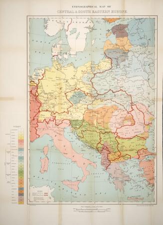
C.S. Hammond & Company
1918
Rand McNally & Company
1917
C.S. Hammond & Co.
1918 circa
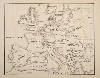
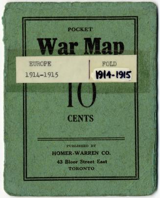
Metropolitan Life Insurance Co.
1914 circa
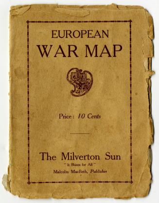
Montreal Star Publishing Company
Approximately 1918
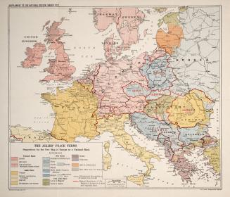
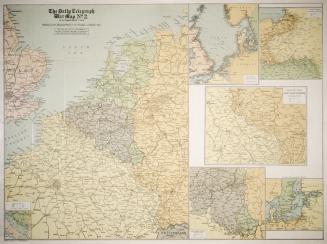
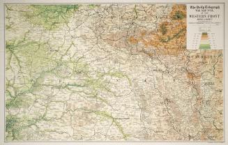
London Geographical Institute
1917 circa