
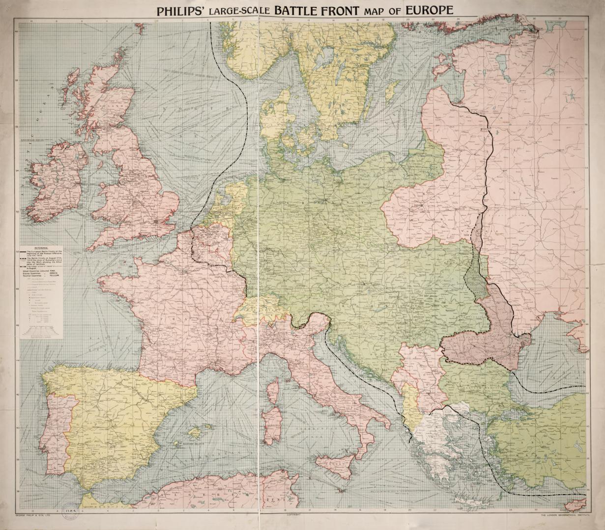

Philips' large-scale battle front map of Europe
DateApproximately 1916
Names
George Philip & Son Ltd.
(publisher)
London Geographical Institute
(cartographer)
London Geographical Institute
(publisher)
FormatMap
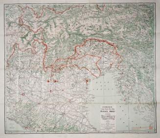
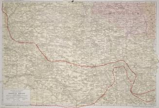
NotesShows steamship routes & distances between ports, canals, railways; European battle fronts at beginning of Russian offensive June 4th, 1916, battle fronts on August 27th, 1916, and Allies' lines of naval blockade in August 1916.
Dimensions88 cm x 112 cm (34 5/8 in. x 44 1/8 in.)
Scale1 : 1 500 00
Language
CollectionBaldwin Collection of Canadiana
Usage Rights
Public Domain
(Learn
More)
Object Number940-41022-P34

Approximately 1916