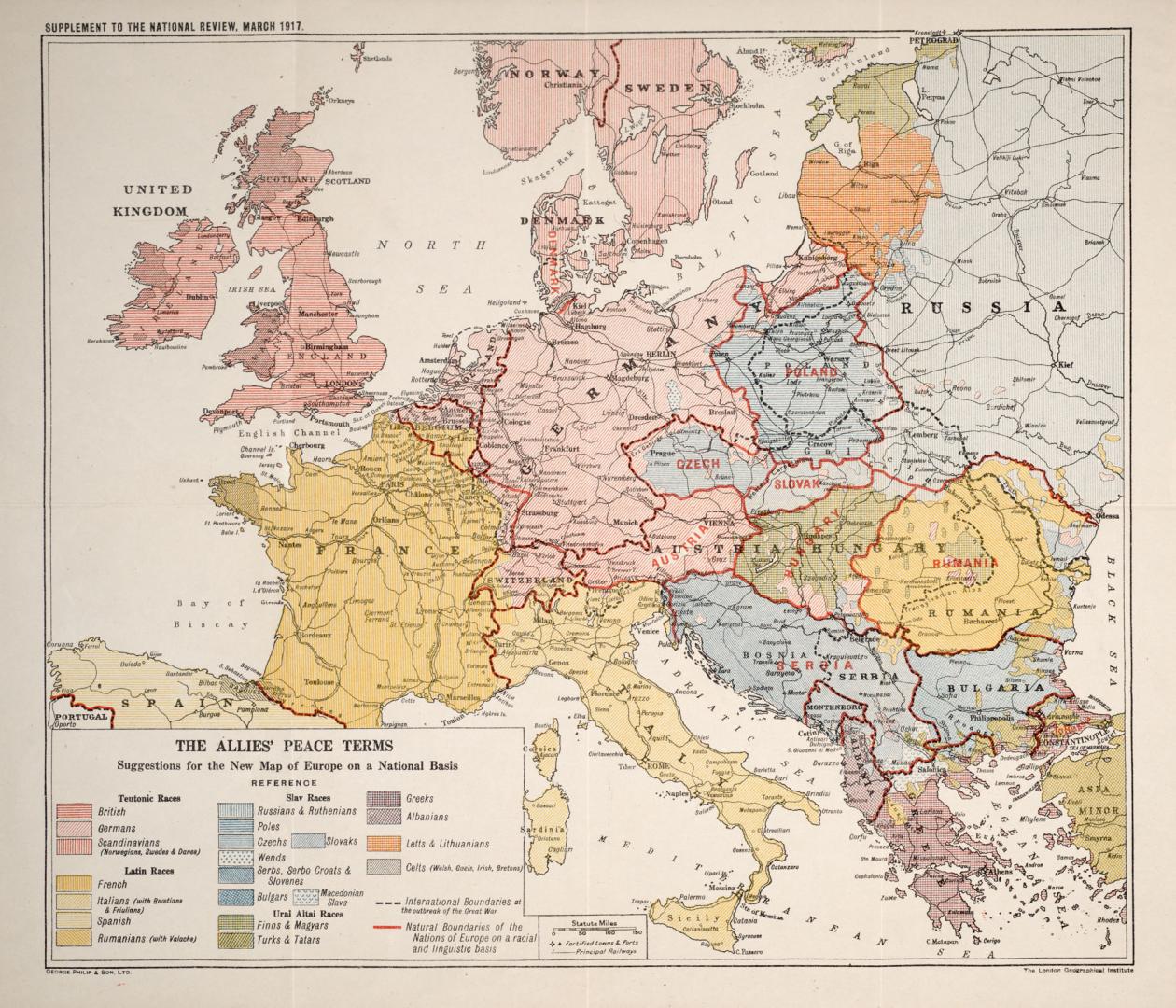

The Allies' Peace Terms, suggestions for the new map of Europe on a national basis
DateApproximately 1917
Names
London Geographical Institute
(cartographer)
George Philip & Son Ltd.
(publisher)
FormatMap
NotesSupplement to the National Review, March 1917
Dimensions 35 cm x 41 cm (13 3/4 in. x 16 1/8 in.)
Scale1 : 7 920 000
Language
CollectionBaldwin Collection of Canadiana
Usage Rights
Public Domain
(Learn
More)
Object Number940-31424-A48

Approximately 1840
Approximately 1916
Approximately 1918