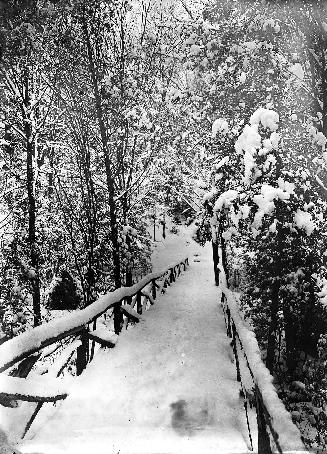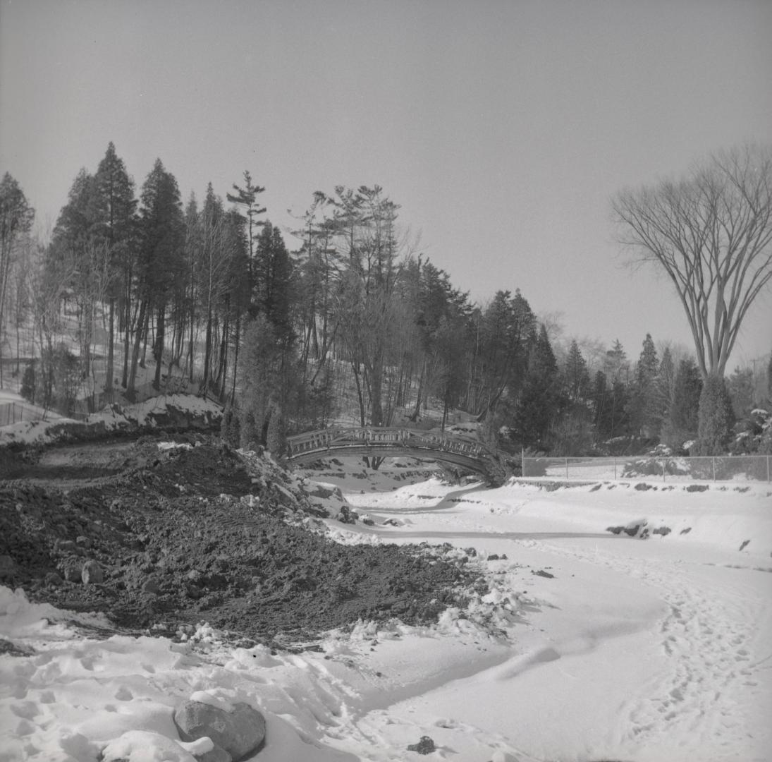

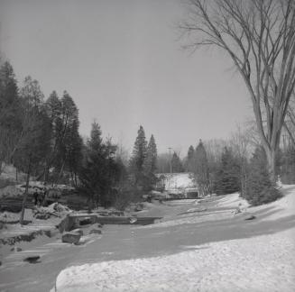
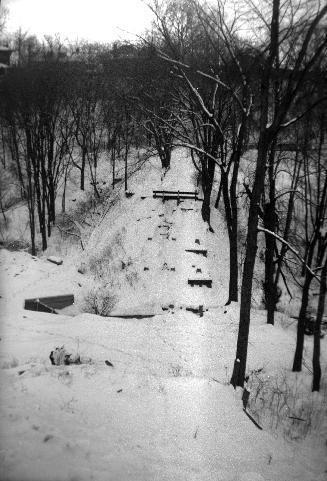
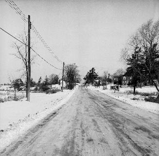
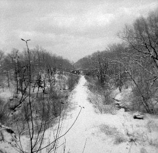
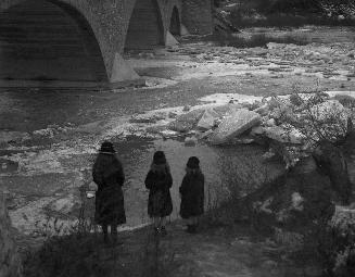
Edwards Gardens, Lawrence Ave. s. side, between Bridle Path & Leslie St.; looking n. up Wilket Creek towards Lawrence Ave. E., Toronto, Ontario
Date1958
Names
Salmon, James V. (James Victor)
(photographer)
FormatPicture
NotesEdwards Gardens, Lawrence Avenue south side, between Bridle Path & Leslie St.; looking north up Wilket Creek towards Lawrence Avenue East
Medium
DimensionsUnknown
Language
CollectionBaldwin Collection of Canadiana
Usage Rights
Public Domain
(Learn More)
Object NumberPICTURES-R-6322
Salmon, James V. (James Victor)
1949
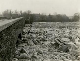
Salmon, James V. (James Victor)
1956
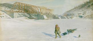
Hind, William G. R., 1833-1889
1875?
Staples, Owen, 1866-1949
1923
Moore & Nixon-James
1929-03
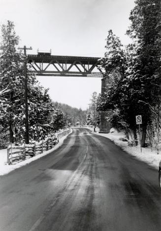
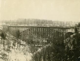
Grand Trunk Railway Company of Canada
1956?
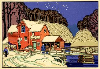
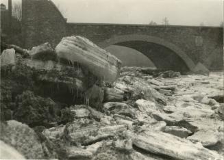
Williams, Charles A., active 1897-1962
1919?