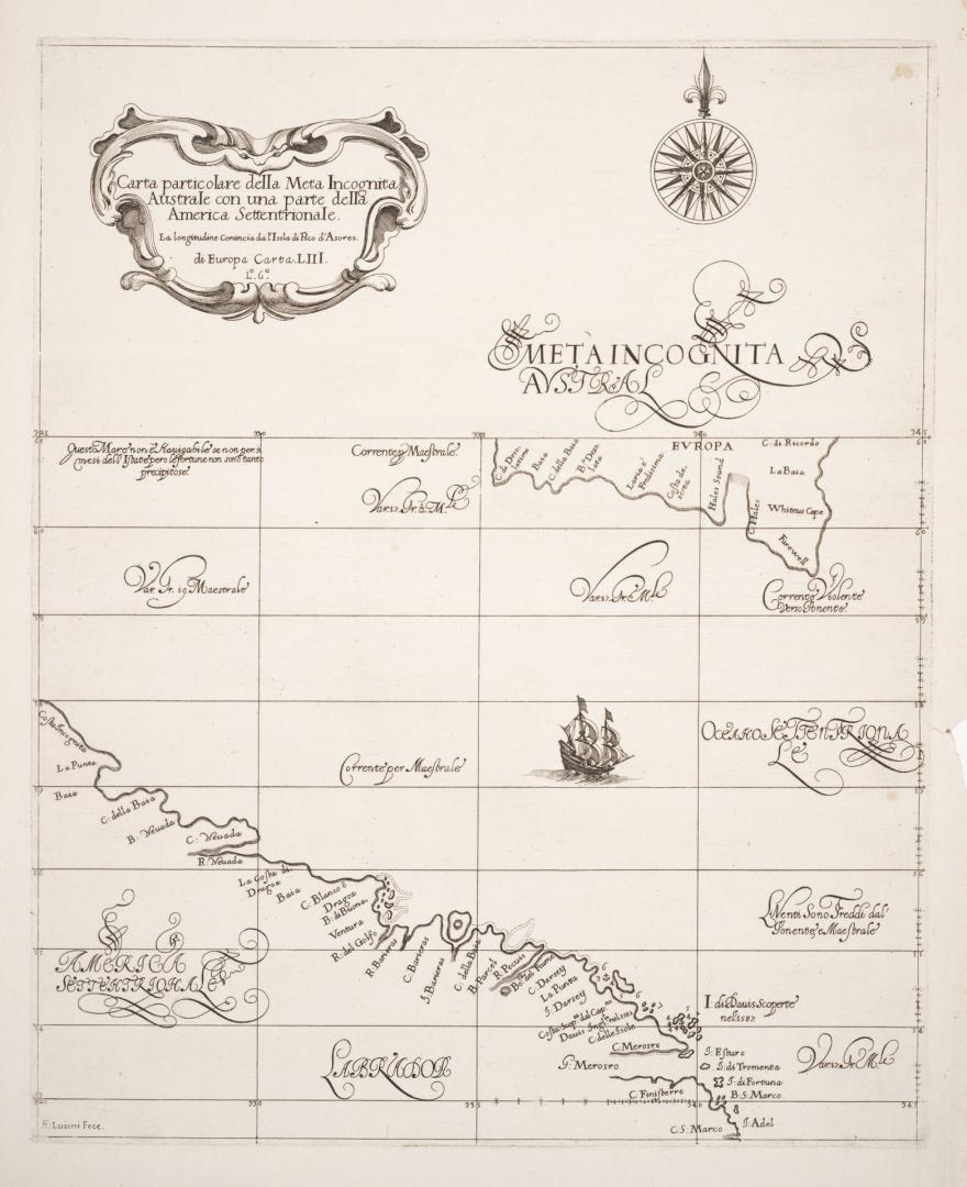

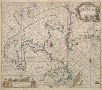
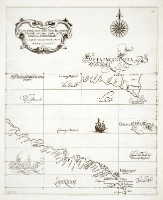
Carta particolare della meta incognita austral con una parte della America Settentrionale
DateApproximately 1661
Names
FormatMap
NotesThe first printed sea chart to depict the waters between Greenland, labeled Europa on the map, and Labrador; ''La Longitudine comincia da L'Isole di Picho e' di Azores'', ''L 6''
Subject
Medium
Dimensions45.5 x 37 cm
Language
CollectionBaldwin Collection of Canadiana
Usage Rights
Public Domain
(Learn More)
Object Number912-19634-D77
Dudley, Robert, Sir, 1574-1649
Approximately 1661
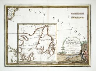
1759
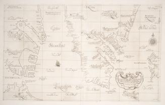
Keulen, Johannes van, 1654-1715
Approximately 1695

F. Buisson, Libraire
1774 or 1795
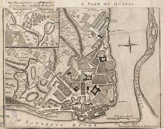
![Die stadt Québec [Qvebec]](/internal/media/dispatcher/1986214/thumbnail)
Antonio Francesco Lucini, 1605-
1647