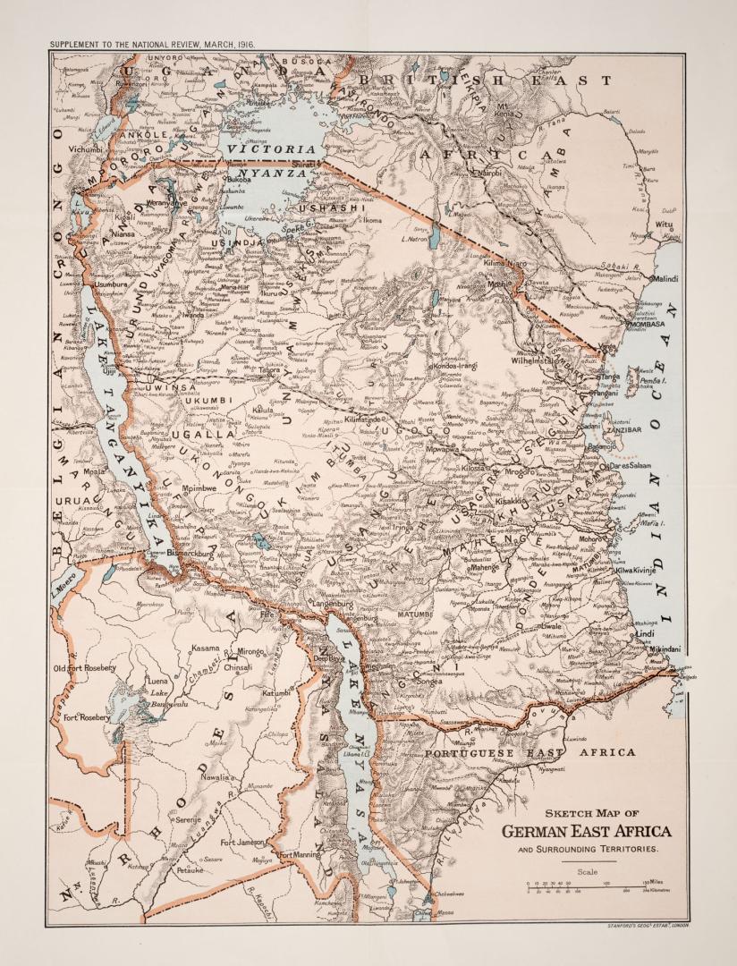

Sketch map of German East Africa and surrounding territories
Date1916
Names
Stanford's Geographical Establishment
(publisher)
Unknown
(author)
Format
Subject
Medium
Dimensions1 : 4 000 000 : 46 x 34 cm.
Extent
- 1 : 4 000 000 : 46 x 34 cm.
Language
CollectionBaldwin Collection of Canadiana
Usage Rights
Public Domain
(Learn More)
Call Number / Accession Number912-6-S44
Dewey Number912.6 S44