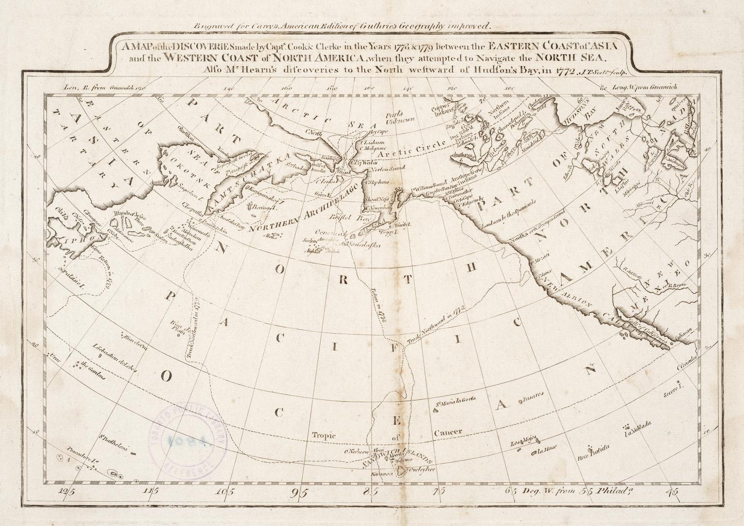

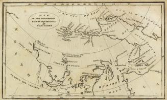
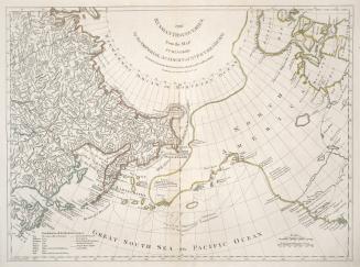
A map of the discoveries made by Capts. Cook & Clerke in the years 1778 & 1779 between the eastern coast of Asia and the western coast of North America, when they attempted to navigate the North Sea. Also Mr. Hearn's discoveries to the north westward of Hudson's Bay, in 1772
DateApproximately 1809
Names
FormatMap
NotesOutside of border at top of map ''Engraved for Carey's American edition of Guthrie's Geography improved''
Dimensions19 cm x 28 cm (7 1/2 in. x 11 in.)
Language
CollectionBaldwin Collection of Canadiana
Usage Rights
Public Domain
(Learn More)
Object Number912-7-C127-SMALL
Clerke, Charles, 1741-1779
Approximately 1785
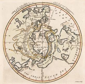
Jefferys, Thomas, -1771
1768
Drage, Theodorus Swaine, approximately 1712-1774
1748
Robert Sayer (Firm)
1775

Gibson, J. (John), active 1750-1792
Approximately 1760
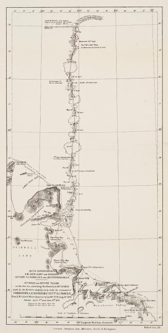
Nares, George S. (George Strong), 1831-1915
1878
Arrowsmith, John, 1790-1873
1860