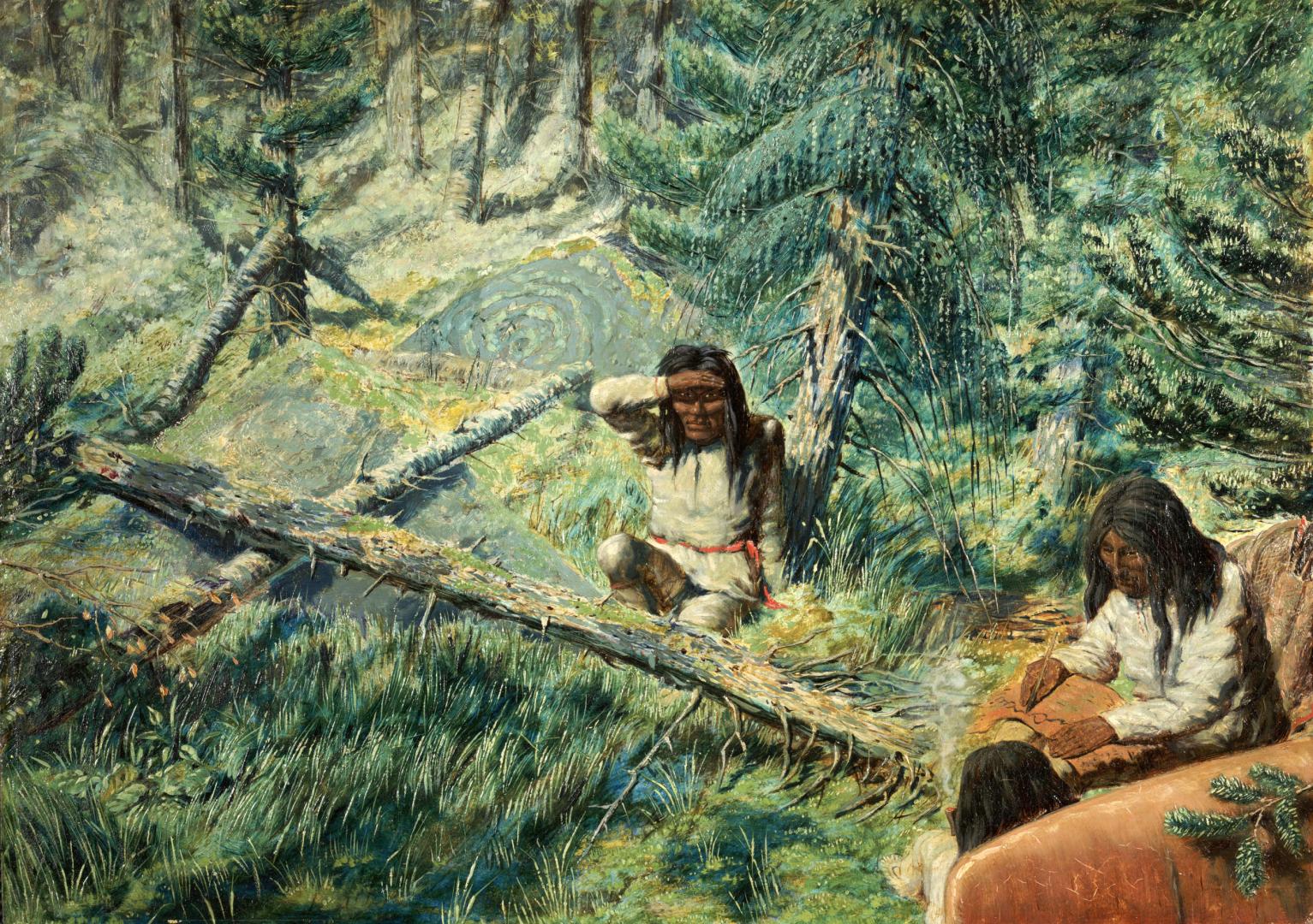

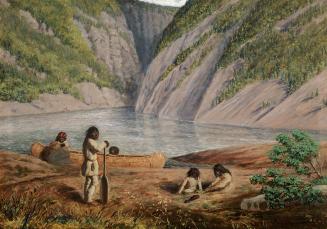
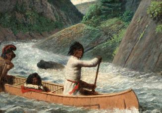
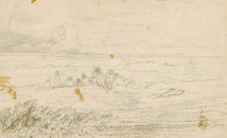
Drawing Map on Birch-Bark (Rivière Moisie, Labrador Peninsula Expedition, Québec, 1861)
Date1861
Names
FormatPicture
NotesDrawing Map on Birch-Bark (Rivière Moisie, Labrador Peninsula Expedition, Québec, 1861)
Dimensions300 x 423 mm
Language
ProvenanceGift of J. Ross Robertson
CollectionBaldwin Collection of Canadiana
Usage Rights
Public Domain
(Learn More)
Object NumberJRR3234
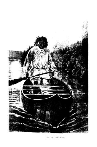
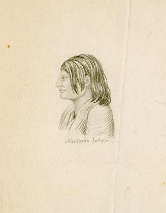
Hind, Henry Youle, 1823-1908
1863
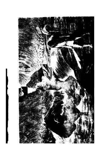
Hind, Henry Youle, 1823-1908
1863
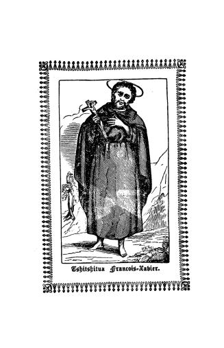
Hind, Henry Youle, 1823-1908
Approximately 1861