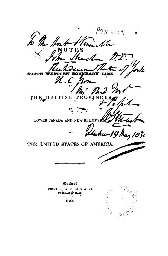

Notes upon the south western boundary line of the British provinces of Lower Canada and New Brunswick and the United States of America
Date1830
Names
Stuart, Andrew, 1785-1840
(author)
T. Cary & Co.
(printer)
FormatBook
NotesNotes upon the south western boundary line of the British provinces of Lower Canada and New Brunswick and the United States of America. First edition. Signed: Andrew Stuart. Bound at end is a map of the St. Croix River dated 25th Oct., 1798, and backed with a sheet from the Star, a Quebec newspaper, dated April 16, 1828, containing an article on the boundary apparently by Stuart.
Subject
Medium
Language
CollectionBaldwin Collection of Canadiana
Usage Rights
Public Domain
(Learn More)
Object Number37131055414098D
Great Britain. Treaties, etc. (1820-1830 : George IV)
1829?