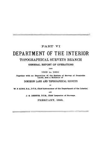

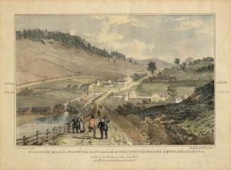
Encampment of Surveying Party at the Site of Stanley (New Brunswick), July 1834
Date1836
Names
Ackermann and Co.
(publisher)
Harry, Philip, active 1833-1857
(contributor)
Russell, S., active 1836
(after)
Unknown
(author)
FormatPicture
NotesEncampment of Surveying Party at the Site of Stanley (New Brunswick), July 1834
Medium
Dimensions187 x 281; 214 x 281; 235 x 323 mm
Language
ProvenanceGift of J. Ross Robertson
CollectionBaldwin Collection of Canadiana
Usage Rights
Public Domain
(Learn More)
Object NumberJRR2244
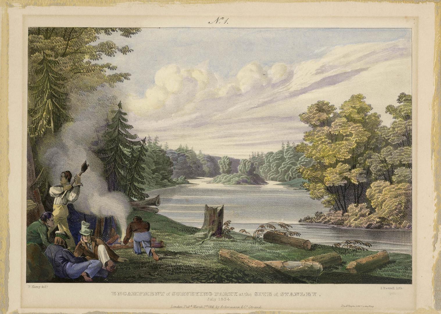
Passmore, Frederic Fortescue, 1824-1892
1864?
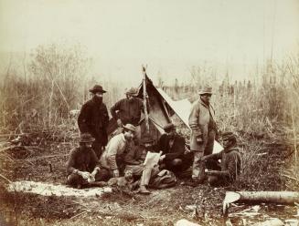
Baltzly, Benjamin, 1835-1883
1871
Logan, William E. (William Edmond), Sir, 1798-1875
1840 - 1841
Logan, William E. (William Edmond), Sir, 1798-1875
1846
Canadian Pacific Railway Company
1874
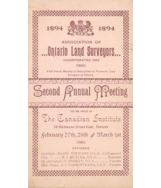
Association of Ontario Land Surveyors
27 February 1894