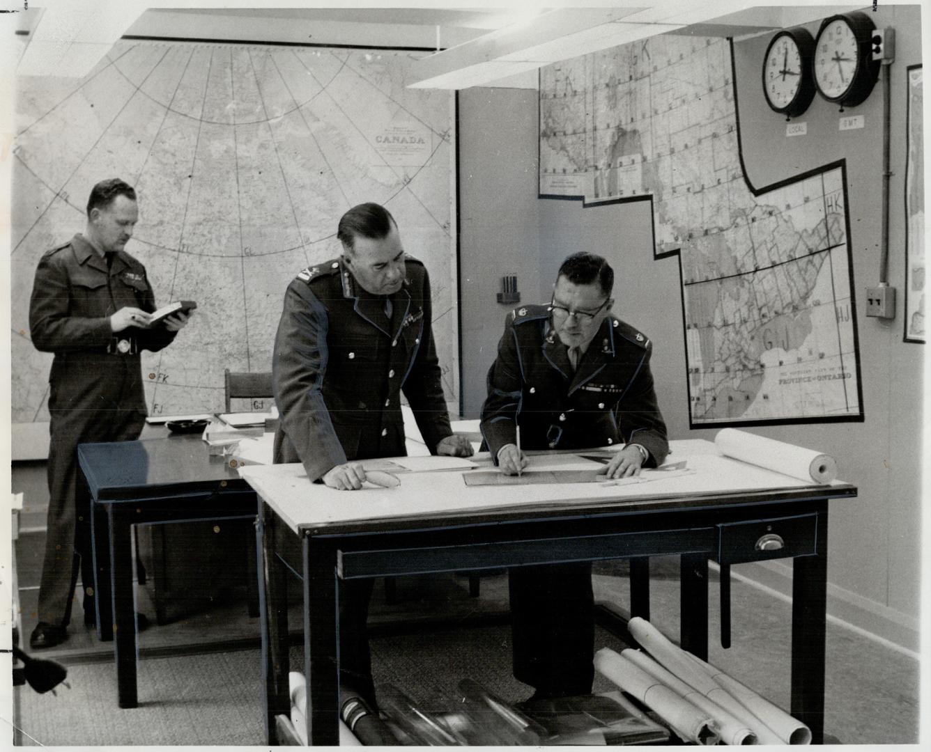

Block maps system used at the centre makes charting of Metro, provincial and national locations simple and exacting
Date2/3/1960
Names
Teskey, Frank
(photographer)
Toronto Star (Firm)
(publisher)
Format
Original Toronto Star caption: Block maps system used at the centre makes charting of Metro; provincial and national locations simple and exacting. Gen. H. A. Sparling; general officer commanding central command; front left; confers with Maj. McClennan over fallout chart. At rear in communications centre is Maj. H. C. Elliott
Subject
Medium
Language
ProvenanceFrom the Toronto Star Archives
CollectionToronto Star Photograph Archive
Usage Rights
Public Domain
(Learn More)
Call Number / Accession NumberTSPA_0005394F