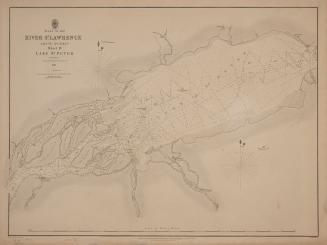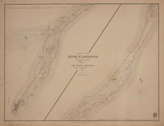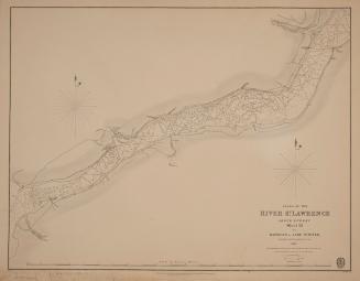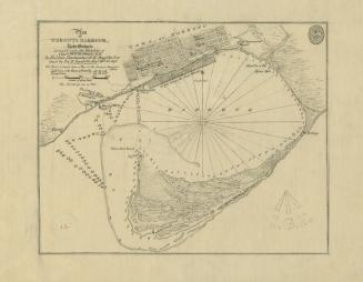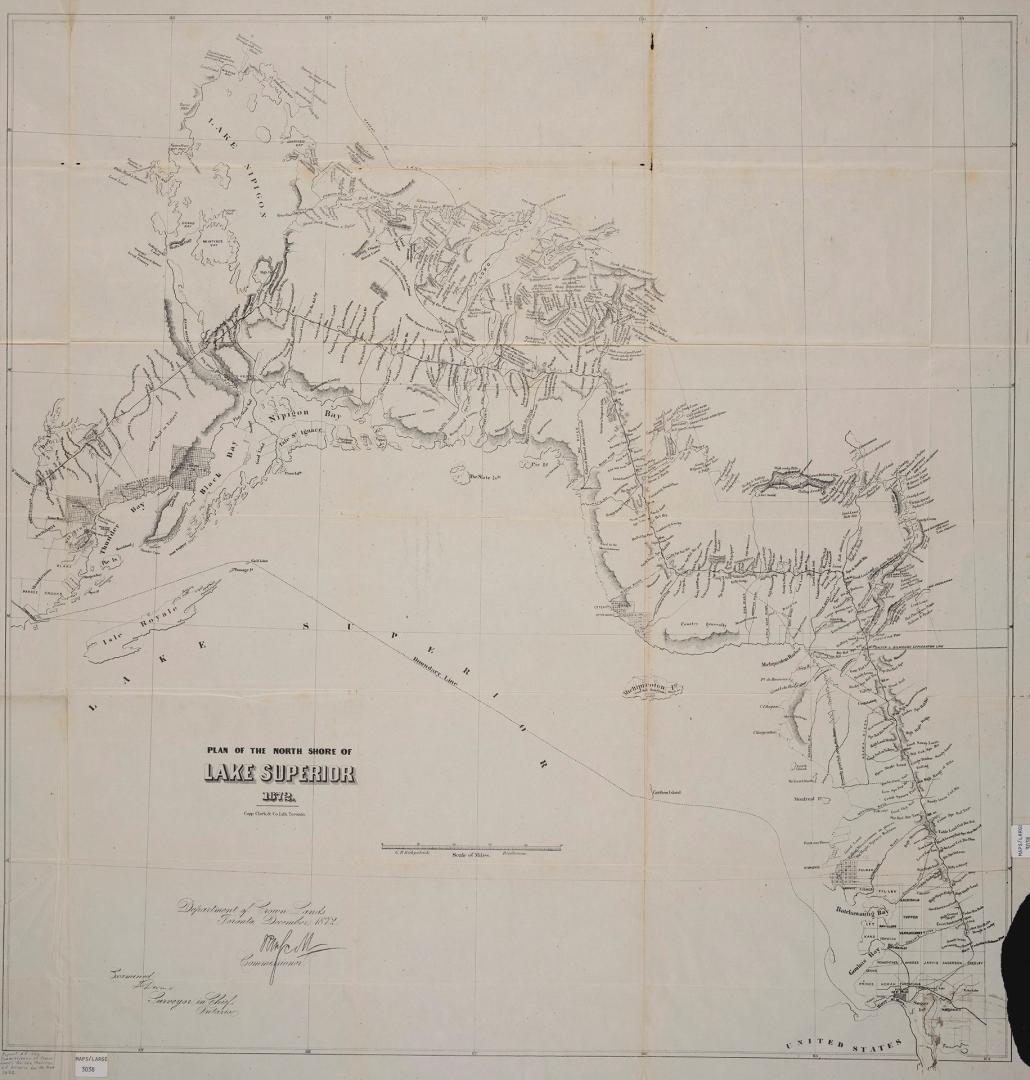

Plan of the north shore of Lake Superior 1872
Date1872
Names
Ontario. Department of Crown Lands
(issuing body)
Kirkpatrick, G.B. (George B.)
(cartographer)
Copp Clark Company
(lithographer)
FormatMap
NotesDepartment of Crown Lands, commissioner Hon. R.W. Scott. Map accompanies the Report of the Commissioner of Crown Lands of the Province of Ontario for the year 1872. Examined T. Devine, Surveyor in Chief, Ontario. G.B. Kirkpatrick, Draughtsman.
Subject
DimensionsLeaf size: 85 cm x 81 cm (33 7/16 in. x 31 7/8 in.)
ScaleBar scale (scale of miles)
Language
CollectionBaldwin Collection of Canadiana
Usage Rights
Public Domain
(Learn
More)
Object Number912-71312-O56