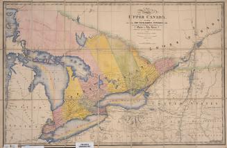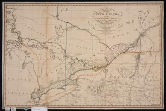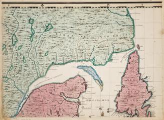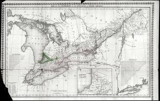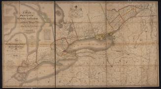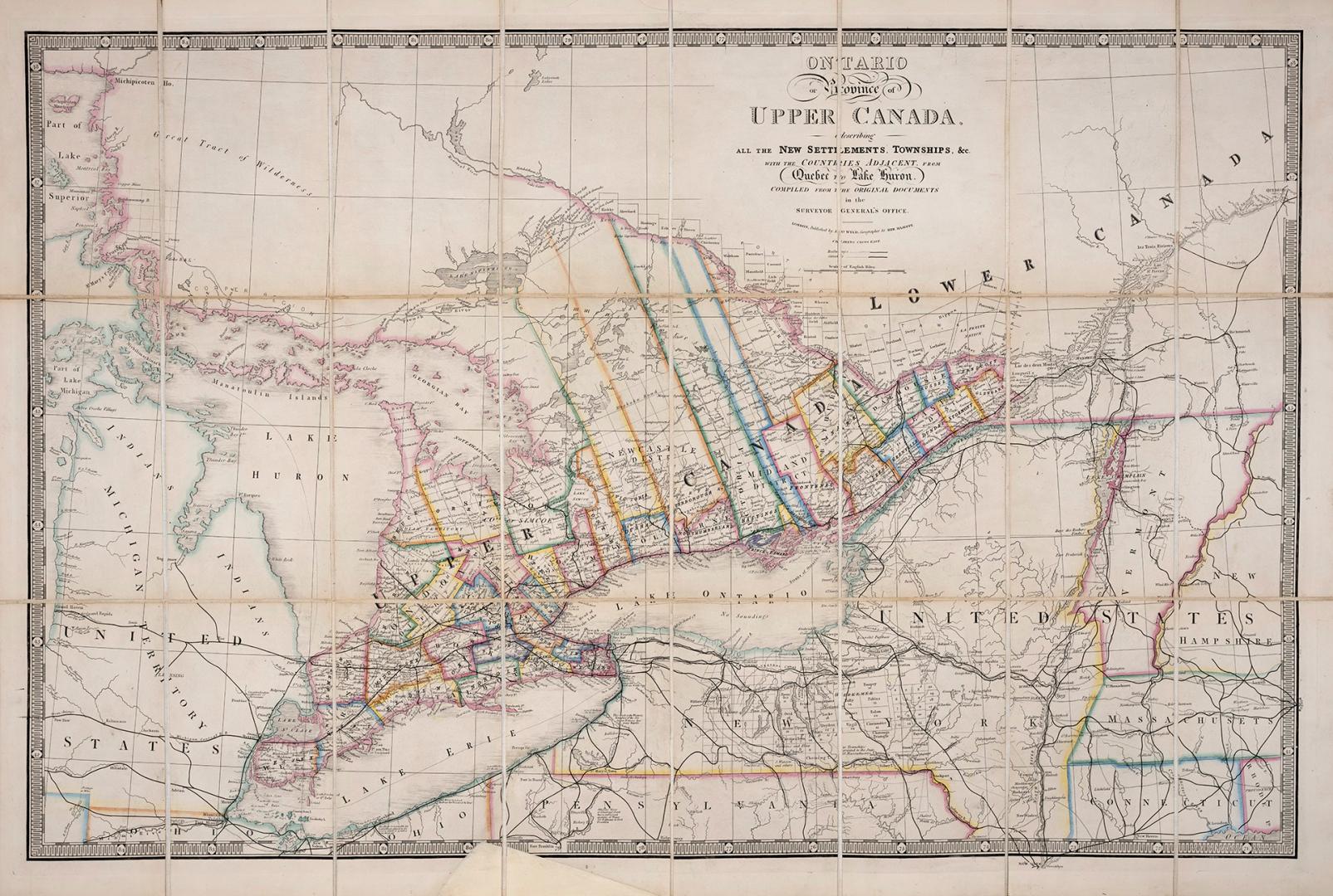

A map of the province of Upper Canada describing all the settlements and townships &c. with the countries adjacent from Quebec to Lake Huron
DateApproximately 1872
Names
Wyld, James, 1790-1836
(author)
James Wyld
(publisher)
Format
| Updated version of Sir David William Smith's original map of Upper Canada first published in 1800 which saw many later editions. The library has the original 1800 and the 1818 editions Wyld's map, a post confederation map, has various significant updates including expansion of the railways lines, especially the Grand Trunk Railway. At the time of the printing of this map, construction on the Intercolonial Railway was just under way. With the American Civil War over, and international travel/trade by train more feasible, standard gauge tracks were now being replaced in Upper Canada to U.S. standard gauge- which involved the laying of a third rail in between the existing track. This enabled the Canadian railways to be more integrated and more competitive with their U.S. counterparts. The Grand Trunk Railway bought the Buffalo & Lake Huron Railway in February 1870. |
Subject
Country:United States
Historical location:Upper Canada
Province or state:Québec
Medium
Dimensions63 cm x 93 cm (24 13/16 in. x 36 5/8 in.)
ScaleBar scale (scale of English miles)
Language
CollectionBaldwin Collection of Canadiana
Usage Rights
Public Domain
(Learn More)
Call Number / Accession Number912-713-W92-FRAGILE-FOLD
Dewey Number912.713 W92 (Fragile Fold)