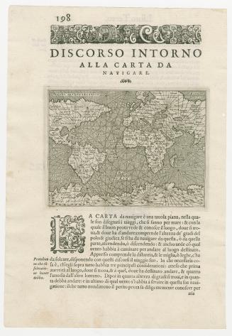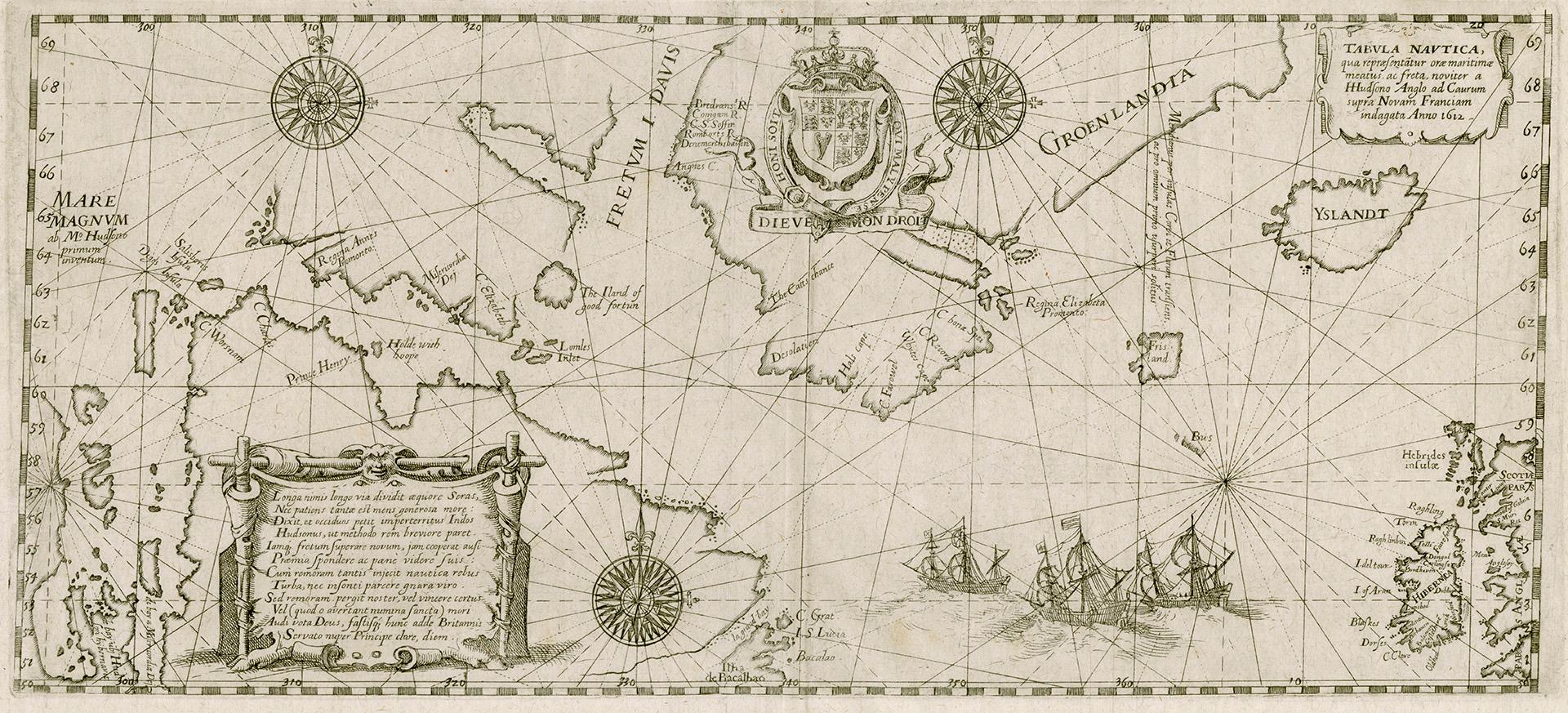

Tabula nautica
Date1613
Names
Bry, Theodor de, 1528-1598
(engraver)
Bry, Theodor de, 1528-1598
(publisher)
FormatMap
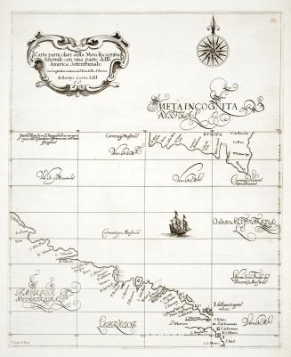
NotesThis remarkable chart illustrates the track of the fourth and final voyage of Henry Hudson in his hunt for a Northwest Passage. It was a landmark map in the exploration of the North Sea and the Arctic as the first, and for decades the only, depiction of Hudson Bay. The map was originally prepared by Hessel Gerritsz in 1612, based on a chart brought back by the surviving members of Hudson’s mutinous crew. This De Bry version was published the following year.
Subject
GeographyGeographical FeatureHudson BayHudson Strait (Quebec and Nunavut)Baffin Island (Nunavut)Baffin BayDavis StraitAtlantic Ocean
Medium
Dimensions22 cm x 35 cm (8 11/16 in. x 13 3/4 in.)
Language
ProvenanceFrom the George Weston Limited donation of printed maps and illustrations 2002
CollectionBaldwin Collection of Canadiana
Usage Rights
Public Domain
(Learn
More)
Object Number912-19632-B698-WESTON-6
1863