Illustrated historical atlas of the counties of Lincoln & Welland Ont.
Date1876
Names
FormatBook
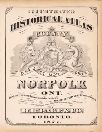
Notes"Dedicated by special permission to His Excellency the Earl of Dufferin K.P.K.C.B. Governor General."
Maps show building locations in the townships and landowners' names, schools, churches, mills, blacksmith shops, cemeteries, roads, railroads, stone quarries, lime kilns, orchards, swamps, and creeks. Text includes portraits of prominent citizens and views of notable residences
Four pages of advertisements at end
TPL Special Collections copy 1: publisher's prospectus laid in
DimensionsCover size: 44 cm x 37 cm (17 5/16 in. x 14 9/16 in.)
Language
CollectionBaldwin Collection of Canadiana
Usage Rights
Public Domain
(Learn More)
Object Number37131099669780D
Catalogue Record for Print Book
https://www.torontopubliclibrary.ca/detail.jsp?Ntt=1594495