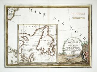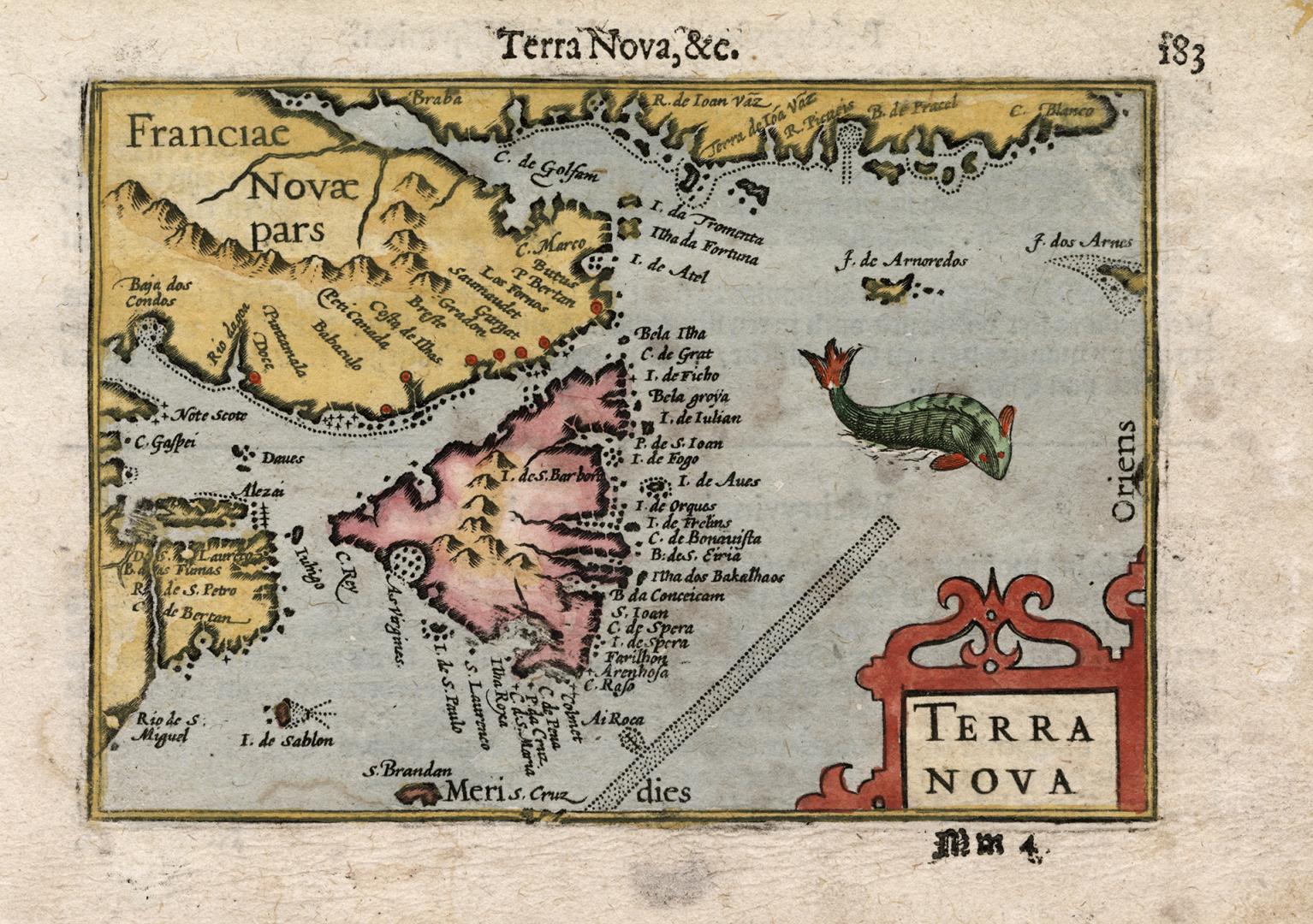

Terra Nova
Date1598
Names
FormatMap
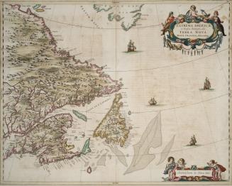
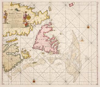
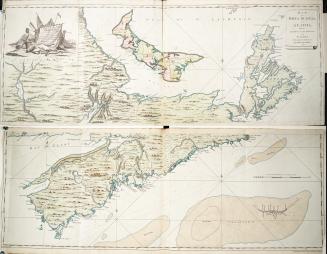
NotesThe long, dotted area is most likely a depiction of the Grand Banks, and the illustration of the fish highlights the importance of the cod fishing in the area. The map is also one of the earliest to depict Newfoundland as a single island, rather than a group of islands.
Subject
Medium
Language
ProvenanceGift of Paul Ferley, 2023
CollectionBaldwin Collection of Canadiana
Usage Rights
Public Domain
(Learn
More)
Object Number912-718-B26