A survey of Lake Champlain including Lake George Crown Point and St. John
Date1762
Names
Amherst, Jeffery Amherst, Baron, 1717-1797
(surveyor)
Robert Sayer and John Bennett (Firm)
(publisher)
FormatMap
NotesInset map: A particular plan of Lake George surveyed in 1756 by Captain Jackson
Subject
Dimensions75.5 cm x 54.5 cm (29 3/4 in. x 21 7/16 in.)
ScaleBar scale (British miles)
Language
CollectionBaldwin Collection of Canadiana
Usage Rights
(not entered)
(Learn More)
Call Number / Accession Number912-7475-B67-MEDIUM
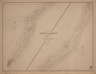
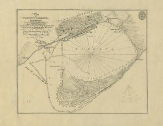
Bayfield, Henry Wolsey, 1795-1885
1831
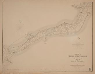
Bayfield, Henry Wolsey, 1795-1885
1831
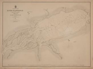
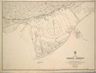
Bayfield, Henry Wolsey, 1795-1885
1834
Bayfield, H. W.
Approximately 1908
Great Britain. Admiralty
1907