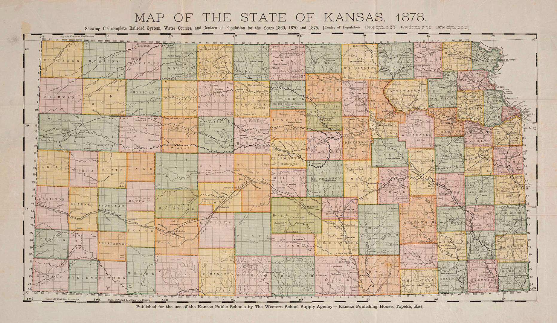

Map of the State of Kansas, 1878 showing the complete railroad system, water courses, and centres of population for the years 1860, 1870 and 1875
Date1878
FormatMap
NotesPublished for the use of the Kansas Public Schools by The Western School Supply Agency - Kansas Publishing House, Topeka, Kansas.
Subject
Dimensions35.5 cm x 61 cm (14 in. x 24 in.)
Language
CollectionBaldwin Collection of Canadiana
Usage Rights
Public Domain
(Learn More)
Object Number912-781-K12-SMALL
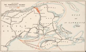
Waterlow and Sons
Approximately 1890
Grand Trunk Railway Company of Canada
Approximately 1905


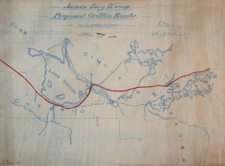
Anderson, William Alfred, 1880-1962
1922
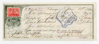
Belt Railway Company of Chicago
18 January 1899