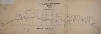
Chart of the north shore of Toronto Harbour and plan of the wharves and storehouses &c. (1846)
DateApproximately 1910
Names
Howard, John G. (John George), 1803-1890
(cartographer)
FormatMap
Notes| Approximately 1910 reproduction of original 1846 map held in Archives of Ontario showing the north shore of Toronto Harbour and plan of the wharves and storehouses |
Medium
Dimensions54 cm x 163 cm (21 1/4 in. x 64 3/16 in.)
Language
ProvenanceJohn Ross Robertson Collection (JRR #76)
CollectionBaldwin Collection of Canadiana
Usage Rights
Public Domain
(Learn
More)
Object NumberT-1846-5-2-LARGE
Approximately 1894
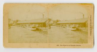
Approximately 1894
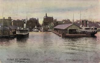
Approximately 1903
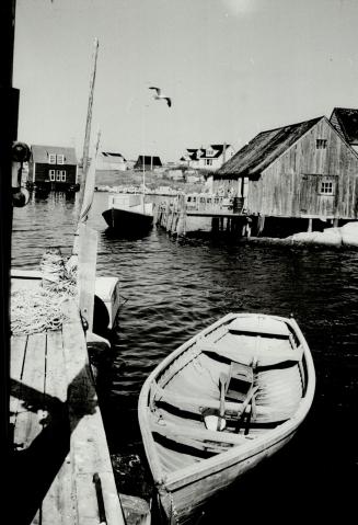
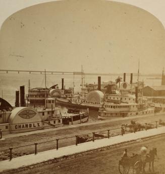
approximately 1865