Skip to main content
Bowen, Emmanuel, 1693?-1767
Close
Refine Results
Show Only Public Domain
Format
Map
(5)
Book
(1)
Date
to
Names
Bowen, Emmanuel, 1693?-1767
(6)
Gentleman's Magazine
(1)
Unknown
(1)
Subject
Maps
(4)
Nautical charts
(2)
Atlases
(1)
Discovery and exploration
(1)
World maps
(1)
Collection
Baldwin Collection of Canadiana
(6)
Language
English
(6)
Sort:
Title (A–Z)
Date (Older First)
Date (Newer First)
Title (Z–A)
Last Updated (Ascending)
Last Updated (Descending)
List
Images
Table
/ 1
Filters
6 results
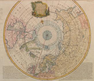
A correct draught of the North Pole and and of all the countries hitherto discovered intercepted between the pole and the parallel of 50 degrees...
Bowen, Emmanuel, 1693?-1767
Approximately 1747
Maps of countries in North America, South America, Europe and Asia
Bowen, Emmanuel, 1693?-1767
1760 circa
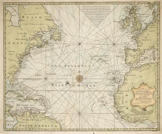
A new & accurate chart of the Western or Atlantic Ocean drawn from surveys and most approved maps & charts
Bowen, Emmanuel, 1693?-1767
1744
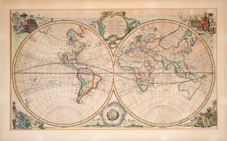
New and accurate map of all the known world drawn from the latest & most accurate surveys
Bowen, Emmanuel, 1693?-1767
Approximately 1740
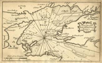
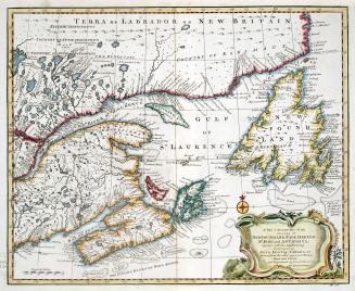
A New and accurate map of the islands of Newfoundland, Cape Breton, St
Bowen, Emmanuel, 1693?-1767
1747
A new map or chart of the Western or Atlantic Ocean, with part of Europe Africa & America : showing the course of galleons, flota &c. to and from the West Indies
Gentleman's Magazine
1740
/ 1
RDF
XML
JSON