Skip to main content
Jefferys, Thomas, -1771
Close
Refine Results
Show Only Public Domain
Format
Map
(28)
Book
(4)
Picture
(1)
Date
to
Names
Jefferys, Thomas, -1771
(33)
Thomas Jefferys
(17)
Laurie & Whittle
(3)
Mead, Braddock
(2)
Robert Sayer (Firm)
(2)
Sayer, Robert, 1725-1794
(2)
Unknown
(2)
Butel-Dumont, Georges-Marie, 1725-1788
(1)
Captain in his majesties navy
(1)
De Braham, William Gerard, 1717-1799
(1)
Load all
Subject
Maps
(27)
Maps and surveys
(9)
Administrative and political divisions
(6)
Discovery and exploration
(3)
History
(2)
Revolution, 1775-1783
(2)
Buildings
(1)
Bunker Hill, Battle of, 1775
(1)
Carriages and carts
(1)
First Nations
(1)
Load all
Collection
Baldwin Collection of Canadiana
(33)
Language
English
(31)
French
(2)
Building, monument or park
Fort Ticonderoga (N.Y.)
(1)
City, town or township
Montréal
(1)
New Orleans
(1)
Québec
(1)
Sort:
Title (A–Z)
Date (Older First)
Date (Newer First)
Title (Z–A)
Last Updated (Ascending)
Last Updated (Descending)
List
Images
Table
/ 2
Next
Filters
33
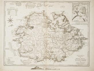
Antigua surveyed by Robert Baker Surveyor General of that Island Engraved and improved by Thomas Jefferys, Geographer to the King
1775
An authentic plan of the River St
1759
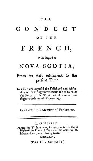
The conduct of the French, with regard to Nova Scotia, from its first settlement to the present time
1754
Conduite des François par rapport a la Nouvelle Ecosse, depuis le premier établissement de cette colonie jusqu'à nos jours (...)
1755
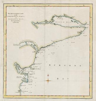
The discoveries made in the North West parts of Hudson's Bay by Cap't Smith in 1746 & 1747
1768
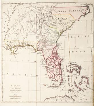
Florida from the Latest Authorities
Approximately 1768
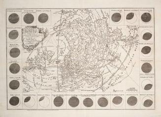
The geography of the great solar eclipse of July, 14
1748
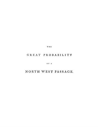
The great probability of a north west passage
1768
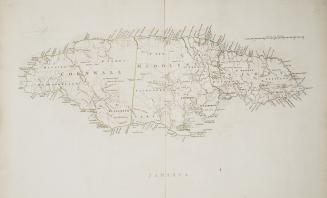
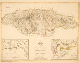
Jamaica
Approximately 1760
Jamaica from the latest surveys
1794
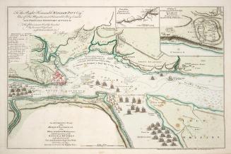
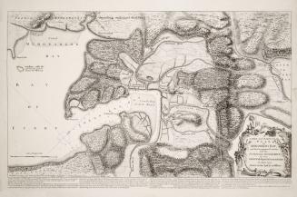
A large and particular plan of Shegnekto Bay, and the circumjacent country, with the forts and settlements of the French till dispossess'd by the English in June 1755 Drawn on the spot by an Officer
1755
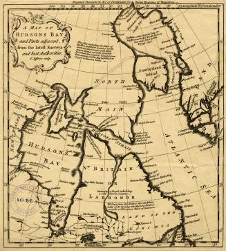
A map of Hudsons Bay and Parts adjacent, from the latest surveys and best authorities
Approximately 1750
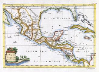
A map of Mexico or New Spain
1756
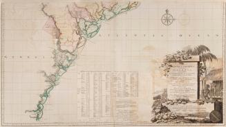
A map of South Carolina and a part of Georgia containing the whole sea coast, all the Islands, Inlets, Rivers, Creeks, Parishes, Townships, Boroughs, (...)
1757
A map of the most inhabited part of New England containing the provinces of Massachusets Bay and New Hampshire, with the colonies of Connecticut and Rhode Island, Divided into Counties and Townships: The Whole composed from Actual Surveys and its Situation adjusted by Astronomical Observations
1774
A map of the most inhabited part of New England containing the provinces of Massachusets Bay and New Hampshire, with the colonies of Connecticut and Rhode Island, Divided into Counties and Townships: The Whole composed from Actual Surveys and its situation adjusted by Astronomical Observations
1755
A map of the most inhabited part of Virginia containing the whole Province of Maryland with part of Pensilvania, New Jersey and North Carolina Drawn by Joshua Fry & Peter Jefferson in 1751
1755
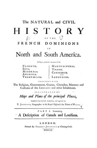
The natural and civil history of the French dominions in North and South America, giving a particular account of the climate, soil, minerals, animals,(...)
1760
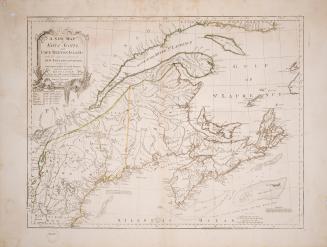
A new map of Nova Scotia, Cape Britain, with the adjacent parts of new England and Canada
1755
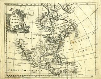
North America
Approximately 1770
/ 2
Next
RDF
XML
JSON