Skip to main content
Wyld, James, 1812-1887
Close
Refine Results
Show Only Public Domain
Format
Map
(10)
Date
to
Names
Wyld, James, 1812-1887
(10)
Hawkins, Alfred, 1792-1854
(1)
James Wyld
(1)
Bouchette, Joseph, 1774-1841
(1)
J & C Walker
(1)
Rand McNally and Company
(1)
Wolfe, James, 1727-1759
(1)
West, Benjamin, 1738-1820
(1)
Subject
Maps
(9)
Death and burial
(1)
Plains of Abraham, Battle of the, Québec, 1759
(1)
Portraits
(1)
Railroads
(1)
Seven Years' War, 1756-1763
(1)
Collection
Baldwin Collection of Canadiana
(10)
Language
English
(10)
Sort:
Title (A–Z)
Date (Older First)
Date (Newer First)
Title (Z–A)
Last Updated (Ascending)
Last Updated (Descending)
List
Images
Table
/ 1
Filters
10 results
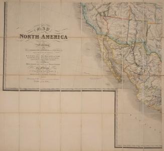
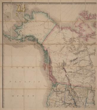
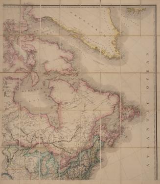
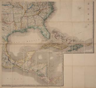
Map of North America, exhibiting the recent discoveries, geographical and nautical, drawn chiefly from the authorities of M. de Humbolt, Lieut. Pike, Messrs Lewis and Clarke, Sir Alex. Mackenzie (and others) also describing the boundary lines between the territories of Great Britain, the United States, and the Mexican and Central States
1865
Map of North America, exhibiting the recent discoveries, geographical and nautical, drawn chiefly from the authorities of M. de Humbolt, Lieut. Pike, Messrs Lewis and Clarke, Sir Alex. Mackenzie (and others) also describing the boundary lines between the territories of Great Britain, the United States, and the Mexican and Central States
1865
Map of North America, exhibiting the recent discoveries, geographical and nautical, drawn chiefly from the authorities of M. de Humbolt, Lieut. Pike, Messrs Lewis and Clarke, Sir Alex. Mackenzie (and others) also describing the boundary lines between the territories of Great Britain, the United States, and the Mexican and Central States
1865
Map of North America, exhibiting the recent discoveries, geographical and nautical, drawn chiefly from the authorities of M. de Humbolt, Lieut. Pike, Messrs Lewis and Clarke, Sir Alex. Mackenzie (and others) also describing the boundary lines between the territories of Great Britain, the United States, and the Mexican and Central States
1865
A map of the province of Upper Canada describing all the new settlements and townships &c. with the countries adjacent from Québec to Lake Huron
1846
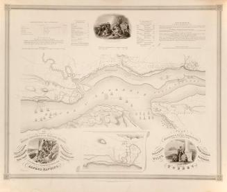
Plan of the Military & Naval Operations, under the Command of the Immortal Wolfe, & Vice Admiral Saunders, before Quebec (Quebec, 1759)
1841
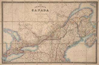
The Province of Canada
1856
The Province of Canada and part of the United States with the railways, roads, and canals
1856
Rand, McNally & Co.'s new official railroad map of the United States and Canada
1883
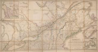
To his most excellent majesty King William IVth this map of the Provinces of Lower and Upper Canada, Nova Scotia, New Brunswick, Newfoundland & Prince Edward Island with a large section of the United States
1831
/ 1
RDF
XML
JSON