Skip to main content
Search
Objects
(181,123)
People
(41,125)
Close
Refine Results
Show Only Public Domain
Format
Map
(914)
Book
(55)
Ephemera
(12)
Picture
(4)
Manuscript
(1)
Date
to
Names
Unknown
(70)
Burland Lithographic Co.
(37)
Goad, Charles E.
(37)
Chas. E. Goad, Ltd.
(35)
Ontario. Department of Crown Lands
(31)
Copp Clark Company
(29)
Jefferys, Thomas, -1771
(23)
Canada. Department of the Interior
(20)
Robertson, J. Ross (John Ross), 1841-1918
(20)
Pardee, Timothy Blair, 1830-1889
(18)
Load all
Subject
*
Maps
(986)
Maps and surveys
(114)
Land subdivision
(98)
Railroads
(64)
Roads
(59)
Discovery and exploration
(43)
Real property
(39)
History
(37)
Fire insurance
(36)
Cities and towns
(32)
Load all
Collection
*
Baldwin Collection of Canadiana
(986)
Language
English
(869)
French
(69)
Latin
(28)
German
(14)
Italian
(11)
No linguistic content
(3)
Dutch
(2)
Spanish
(2)
Building, monument or park
Toronto Harbour
(16)
Fort York
(8)
Canadian National Exhibition (CNE)
(1)
Fort Frontenac
(1)
Fort George
(1)
Fort Ticonderoga (N.Y.)
(1)
Louisbourg (N.S.)
(1)
Moulthorp Lumber Company
(1)
Osgoode Hall (Toronto, Ontario)
(1)
Provincial Lunatic Asylum
(1)
Load all
City, town or township
Toronto
(203)
Québec
(12)
Montréal
(10)
Ottawa
(6)
Belleville
(5)
King (Ont. : Township)
(4)
Vaughan
(4)
Ameliasburgh (Ont.: Township)
(3)
Hamilton
(3)
Kawartha Lakes
(3)
Load all
Neighbourhood
Harbour
(37)
Railway Lands
(23)
Garrison
(22)
St. Lawrence
(20)
King-Spadina
(19)
Exhibition
(16)
Financial District
(16)
Toronto Islands
(15)
Port Lands
(12)
Downtown
(10)
Load all
North-south street
Yonge Street
(11)
Bathurst Street
(7)
Dovercourt Road
(5)
Dufferin Street
(5)
Bay Street
(3)
Christie Street
(3)
Leslie Street
(3)
Lippincott Street
(3)
Peter Street
(3)
Sherbourne Street
(3)
Load all
East-west street
Bloor Street West
(18)
College Street
(7)
Davenport Road
(7)
Dundas Street West
(5)
Front Street West
(5)
Queen Street West
(5)
King Street West
(4)
Bloor Street East
(3)
Dupont Street
(3)
Front Street East
(3)
Load all
Sort:
Relevance
Date (Older First)
Date (Newer First)
Title (A–Z)
Title (Z–A)
Last Updated (Ascending)
Last Updated (Descending)
List
Images
Table
/ 50
Next
Filters
986 results for
*
Result type
Objects
People
Baldwin Collection of Canadiana
Maps
Clear All Filters
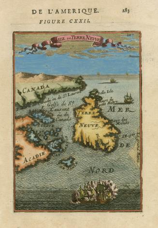
Isle de Terre Neuve
1683
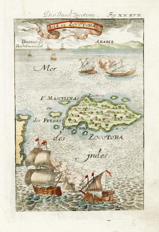
Isle de Zocotora
1684
(1816) Plan of the harbour, fort and town of York, the capital of Upper Canada, March 16th 1816
Approximately 1908
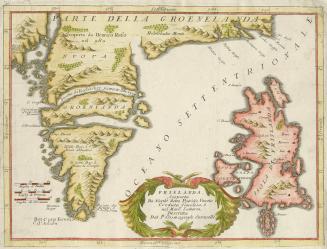
Frislanda, Scoperta da Nicolo Zeno Patritio Veneto Creduta Favolosa, o nel Mare Somersa
Approximately 1695
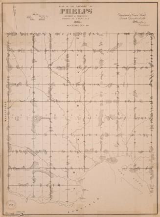
Plan of the township of Phelps District of Nipissing
1884
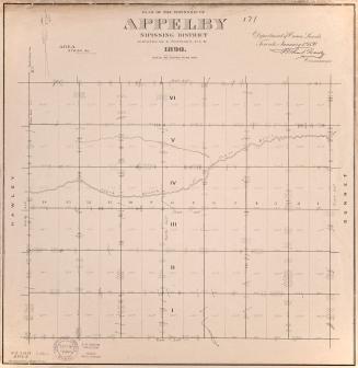
Plan of the township of Appleby Nipissing District
1890
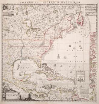
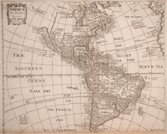
A map of the British Empire in America with the French and Spanish settlements adjacent thereto
Approximately 1733
America with those known parts in that unknowne worlde both people and manner of buildings discribed and inlarged by I
1626
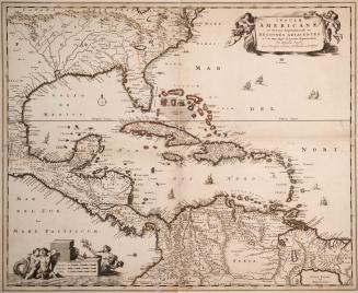
Insulae Americanae in Oceano Septentrionali ac regiones adiacentes, a C. de May usque ad lineam aequinoctialem
Approximately 1684
Americae nova descriptio impensis Anae Seile 1663
1663
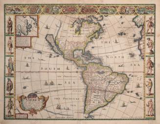
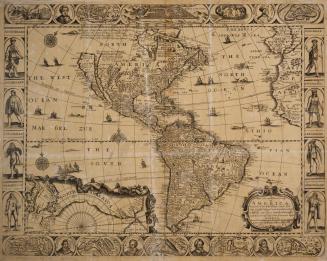
A new and most exact map of America, described by N
1668
Plan of subdivision of part of lot no. 32, conn. II, now in the City of Toronto ... the property of the Land Security Co.y.
1890
Map of the seat of Riel's insurrection showing the connection of Prince Albert with other points in the North West
1885
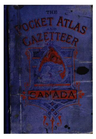
The pocket atlas and gazetteer of the Dominion of Canada
1890
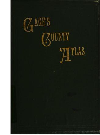
Gage's county atlas containing county maps of the province of Ontario, maps of the provinces of Manitoba and Quebec and railway maps of Ontario and Quebec, and maps of the Eastern Townships
Approximately 1886 or 1885
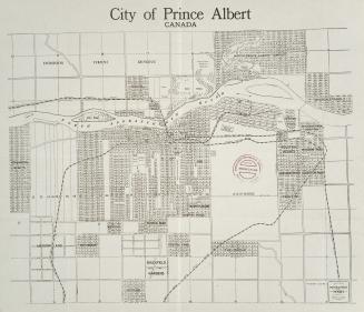
City of Prince Albert Canada
1912
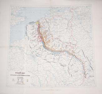
The western front. Situation on September 25th 1918
1918
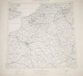
Western theatre of war
1915
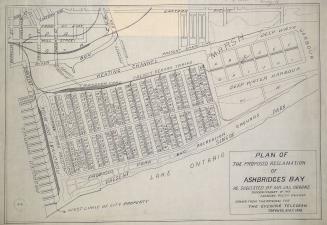
Plan of the proposed reclamation of Ashbridges Bay as suggested by Mr. Jas. Oborne superintendent of the Canadian Pacific Railway
1908
City of Regina, Canada
1912
/ 50
Next
RDF
XML
JSON