Skip to main content
Search
Objects
(181,263)
People
(41,132)
Close
Refine Results
Show Only Public Domain
Format
Picture
(40)
Ephemera
(2)
Date
to
Names
Unknown
(27)
Ritchie, Don
(7)
Jones, James Edmund, 1866-1939
(4)
Salmon, James V. (James Victor)
(4)
Moore, William F.
(2)
Torrence, Robert Douglas
(2)
Belbin, Percy
(1)
Globe (Toronto, Ont.)
(1)
Coomber, Edward
(1)
Hamilton family
(1)
Load all
Subject
Homes and haunts
(8)
Dwellings
(7)
Schools
(6)
Streets
(6)
Portraits
(5)
Parks
(4)
Automobiles
(3)
Bridges
(3)
Interior decoration
(2)
Motorcycles
(2)
Load all
Collection
*
Baldwin Collection of Canadiana
(42)
Language
English
(41)
Building, monument or park
Chorley Park (Toronto, Ontario)
(1)
City, town or township
Toronto
(42)
Neighbourhood
North Toronto
(37)
Deer Park
(3)
Rosedale-Moore Park
(2)
North-south street
*
Mount Pleasant Road
(42)
East-west street
Davisville Avenue
(13)
Eglinton Avenue East
(5)
Roehampton Avenue
(4)
Dawlish Avenue
(3)
St. Clair Avenue East
(3)
Blythwood Road
(2)
Lawrence Avenue East
(2)
Summerhill Avenue
(2)
Teddington Park Avenue
(2)
Belsize Drive
(1)
Load all
Sort:
Relevance
Date (Older First)
Date (Newer First)
Title (A–Z)
Title (Z–A)
Last Updated (Ascending)
Last Updated (Descending)
List
Images
Table
Previous
/ 3
Next
Filters
42 results for
*
Result type
Objects
People
Mount Pleasant Road
Baldwin Collection of Canadiana
Clear All Filters
Brennand, Thomas W., house, Forman Avenue, east side, south of Eglinton Avenue East, Toronto, Ontario
1908 circa
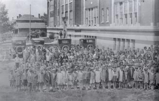
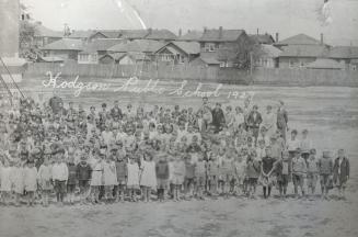
Hodgson Public School, Davisville Avenue, north side, between Mount Pleasant Road & Belle Ayre Boulevard
1929
Eglinton Public School, Eglinton Avenue, south west corner of Mount Pleasant Road, Toronto, Ontario
1929
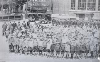
Hodgson Public School, Davisville Avenue, north side, between Mount Pleasant Road & Belle Ayre Boulevard, Toronto, Ontario.
1929
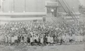
Hodgson Public School, Davisville Avenue, north side, between Mount Pleasant Road & Belle Ayre Boulevard, Toronto, Ontario
1929
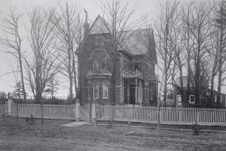
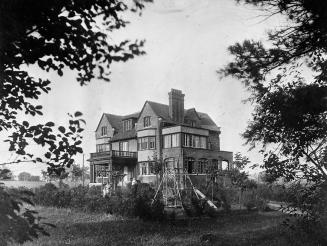
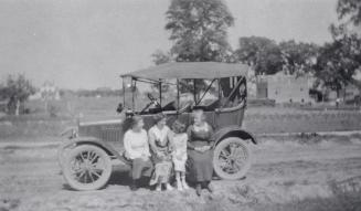
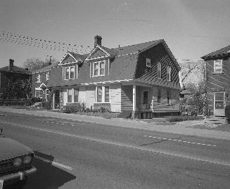
Jones, James Edmund, house, Dawlish Avenue, south side, west of Pinedale Road (#181), looking northeast
c. 1914
Reservoir Park, west of Mount Pleasant Road, south from north of St. Clair Avenue East, Toronto, Ontario
1925
Reservoir Park, west of Mt. Pleasant Road, south from north of St. Clair Avenue East, Toronto, Ontario
1900
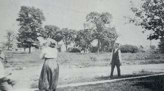
Mount Pleasant Road, between Eglinton & Roehampton Avenues, looking southeast towards Eglinton Avenue East in background
1910
Mt. Pleasant Rd, between Eglinton & Roehampton Avenues, looking east towards Rawlinson Avenue in background
1910
Mount Pleasant Road, between Eglinton & Roehampton Avenues, Toronto, Ontario; looking southeast to Eglinton Avenue E. in background
1910
Mount Pleasant Road, between Eglinton & Roehampton Avenues, looking east
1910
Manor Road East, view from Mount Pleasant Road, Toronto, Ontario
1910
Snowdon Avenue, between Mt. Pleasant Road & Ronan Avenue
1920
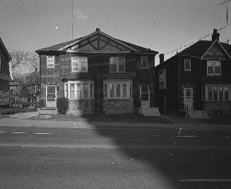
Coomber, Edward, house, Snowdon Ave., south side, east of Mt. Pleasant Rd., Toronto, Ont.
1915 circa
Snowdon Avenue, south side, looking east from east of Mount Pleasant Road, Toronto, Ontario
1919
Davisville Avenue, looking north west, from west of Acacia Road, Toronto, Ontario
1974
Davisville Avenue, looking north, west of Acacia Road, Toronto, Ontario
1974
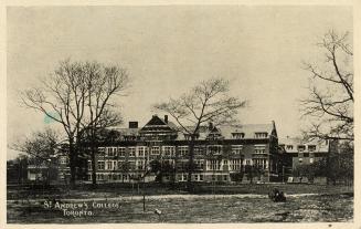
St. Andrew's College, Toronto
Approximately 1909
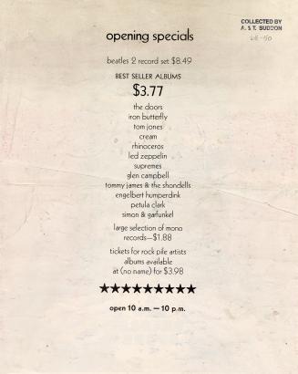
A new record store
1968
Previous
/ 3
Next
RDF
XML
JSON