Skip to main content
Search
Objects
(181,123)
People
(41,122)
Close
Refine Results
Show Only Public Domain
Format
Map
(273)
Ephemera
(3)
Book
(1)
Date
to
Names
Burland Lithographic Co.
(35)
Ode, Henri
(16)
Ph. Vandermaelen
(16)
MacDiarmid, F. G.
(14)
McLean, W. A. (Deputy Minister of Highways, Ont.)
(14)
Ontario. Department of Public Highways
(14)
Vandermaelen, Philippe, 1795-1869
(14)
Arrowsmith, John, 1790-1873
(11)
Unknown
(11)
Canada. Department of the Interior
(10)
Load all
Subject
Maps
(273)
Discovery and exploration
(22)
Railroads
(17)
Roads
(16)
Colonies
(11)
Maps and surveys
(11)
Natural resources
(5)
Description and travel
(4)
Emigration and immigration
(4)
Historical geography
(4)
Load all
Collection
Baldwin Collection of Canadiana
(277)
Language
English
(238)
French
(31)
Italian
(3)
No linguistic content
(2)
Latin
(2)
German
(2)
City, town or township
Québec
(5)
Toronto
(5)
Ottawa
(3)
Grand Prairie (Alberta)
(2)
Montréal
(2)
Argenteuil
(1)
Barrie
(1)
Belleville
(1)
Brockville
(1)
Chicoutimi
(1)
Load all
Neighbourhood
Cedarvale
(1)
Sort:
Relevance
Date (Older First)
Date (Newer First)
Title (A–Z)
Title (Z–A)
Last Updated (Ascending)
Last Updated (Descending)
List
Images
Table
Previous
/ 14
Next
Filters
277 results for
*
Result type
Objects
People
Regional maps
Clear All Filters
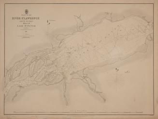
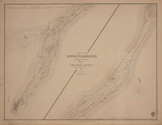
Plans of the River St. Lawrence above Québec sheet IV Lake St. Peter
1831
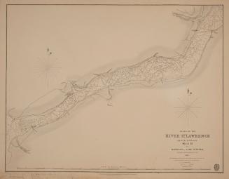
Plans of the River St. Lawrence above Québec sheet III Batiscan to Lake St. Peter
1831
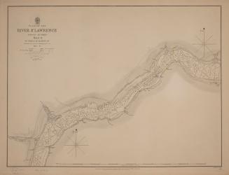
Plans of the River St. Lawrence above Québec sheet II St. Croix to Batiscan
1837
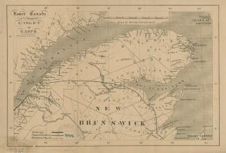
Lower Canada from L'Islet to Gaspé
1861
Plans of the River St. Lawrence above Québec sheet V from Lake St. Peter to Montréal
1834
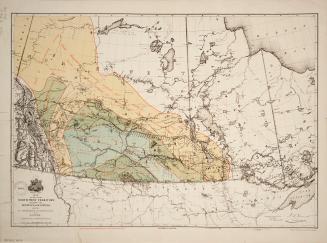
Map of part of the North West Territory including the Province of Manitoba shewing an approximate classification of the lands
1878
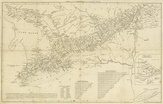
Map of the townships in Canada West
1845
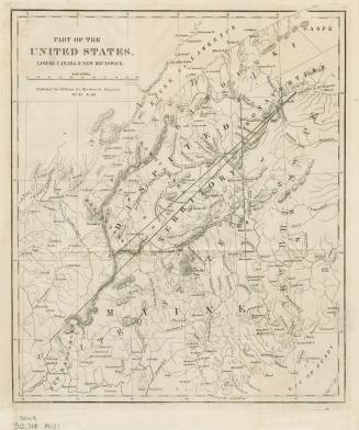
Part of the United States, Lower Canada & New Brunswick
Approximately 1840
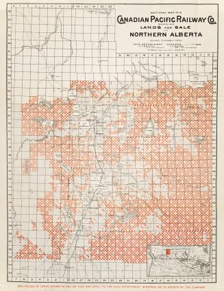
Sectional map no.6 Canadian Pacific Railway Co. shewing lands for sale in Northern Alberta
1902
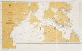
Canada North Atlantic Ocean Hudson Bay and Strait showing the path followed and the ice encountered by the H
1911
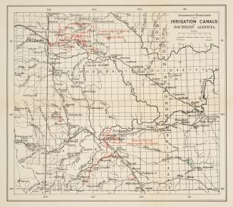
Irrigation canals in southern Alberta
1912
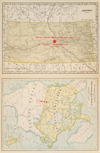
Map showing the property of the British Canadian Wheat Raising Co
1901
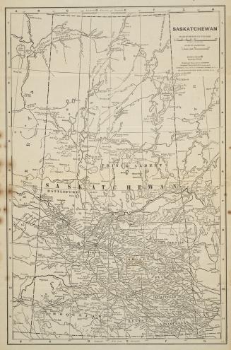
Sakatchewan
1912
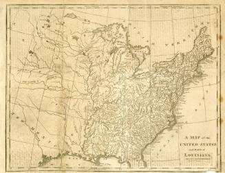
Map of the United States and Part of Louisiana
1817
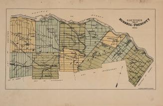
Counties of Russell and Prescott
Approximately 1880
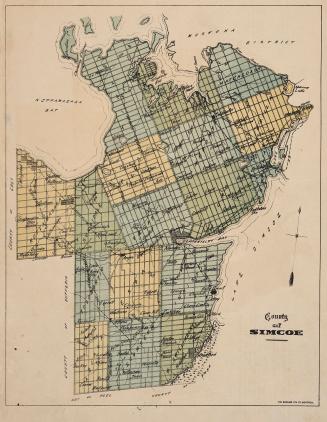
County of Simcoe
Approximately 1880
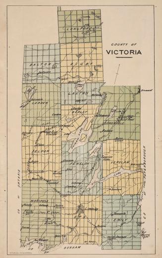
County of Victoria
Approximately 1880
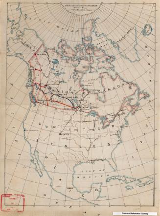
North America
Approximately 1905
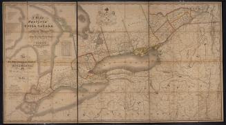
Map of the Province of Upper Canada and the adjacent territories in North America
1825
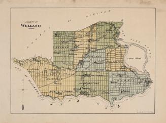
County of Welland
Approximately 1880
Previous
/ 14
Next
RDF
XML
JSON