Skip to main content
Search
Objects
(181,123)
People
(41,125)
Close
Refine Results
Show Only Public Domain
Format
*
Map
(29)
Date
to
Names
Robert Sayer and John Bennett (Firm)
(4)
Sayer, Robert, 1725-1794
(4)
Pownall, Thomas, 1722-1805
(3)
Kitchin, Thomas, 1718-1784
(2)
Lowry, John Wilson, 1803-1879
(2)
Bennett, John
(2)
Moll, Herman, -1732
(2)
Unknown
(2)
Chapman and Hall
(1)
Buchon, Jean Alexandre, 1791-1846
(1)
Load all
Subject
*
Colonies
(29)
Maps
(29)
Cartography
(2)
History
(2)
Revolution, 1775-1783
(2)
Boundaries
(1)
French and Indian War, 1755-1763
(1)
Collection
*
Baldwin Collection of Canadiana
(29)
Language
English
(27)
French
(2)
City, town or township
Charleston
(1)
Sort:
Relevance
Date (Older First)
Date (Newer First)
Title (A–Z)
Title (Z–A)
Last Updated (Ascending)
Last Updated (Descending)
List
Images
Table
/ 2
Next
Filters
29 results for
*
Result type
Objects
People
Map
Baldwin Collection of Canadiana
Colonies
Clear All Filters
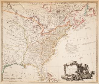
A map of the British Empire in America with the French and Spanish settlements adjacent thereto
Approximately 1733
Continent and islands of America possessed by European nations
1765
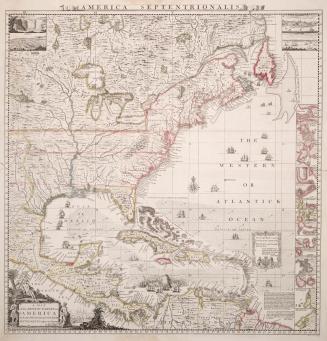
The Western or Atlantic Ocean
30 May 1775
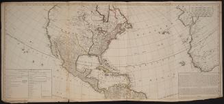
North America
Approximately 1905
A general map of the northern British colonies in America
1776
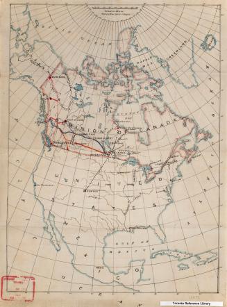
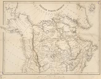
British North America
1865
British Possessions in North America, with part of the United States, compiled from official sources
1840
Part of North America, containing Canada, the north parts of New England and New York, with Nova Scotia and Newfoundland
1755
The theatre of war in North America, with the roads and a table of the distances
1776
Map of the United States of North America: with the British territories and those of Spain according to the treaty of 1784
1796
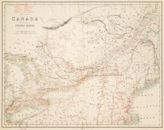
British North America. Sheet II, West. Canada with part of the United States.
1862
British North America
Approximately 1850
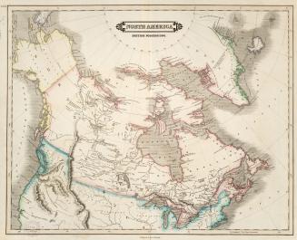
North America British possessions
1831
British Possessions in North America from the best authorities
1794
A general map of the middle British colonies, in America
1776
British possessions in North America
1836
Carte des possessions Angloises & Francoises du continent de l'Amerique septentrionale
1755
Des possessions Francoises aujourd'hui sous la domination Angloises
1780
Carte Geographique, Statistique et Historique des Posessions Anglaises
1825
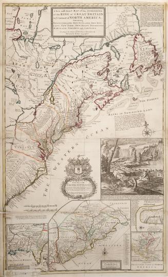
A new and exact map of the Dominions of the King of Great Britain on ye Continent of North America, Containing Newfoundland, New Scotland, New England(...)
1715
/ 2
Next
RDF
XML
JSON