Skip to main content
Search
Objects
(181,263)
People
(41,132)
Close
Refine Results
Show Only Public Domain
Format
*
Map
(32)
Date
to
Names
Arrowsmith, John, 1790-1873
(9)
Hind, Henry Youle, 1823-1908
(5)
Sayer, Robert, 1725-1794
(3)
Bellin, Jacques Nicolas, 1703-1772
(2)
Great Britain. Army. Royal Engineers
(2)
Drage, Theodorus Swaine, approximately 1712-1774
(2)
Great Britain. Royal Navy
(2)
Douglas, James, 1803-1877
(2)
Robert Sayer and John Bennett (Firm)
(2)
Jefferys, Thomas, -1771
(2)
Load all
Subject
*
Discovery and exploration
(32)
Maps
(31)
British
(2)
Discoveries in geography
(1)
Exploration
(1)
Explorers
(1)
Gold mines and mining
(1)
Mines and mineral resources
(1)
Natural resources
(1)
Nautical charts
(1)
Load all
Collection
*
Baldwin Collection of Canadiana
(32)
Language
English
(27)
French
(4)
Italian
(1)
Sort:
Relevance
Date (Older First)
Date (Newer First)
Title (A–Z)
Title (Z–A)
Last Updated (Ascending)
Last Updated (Descending)
List
Images
Table
/ 2
Next
Filters
32 results for
*
Result type
Objects
People
Map
Baldwin Collection of Canadiana
Discovery and exploration
Clear All Filters
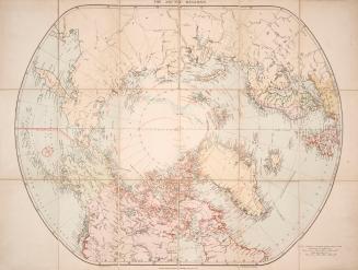
London atlas map of the Arctic Regions
Approximately 1915
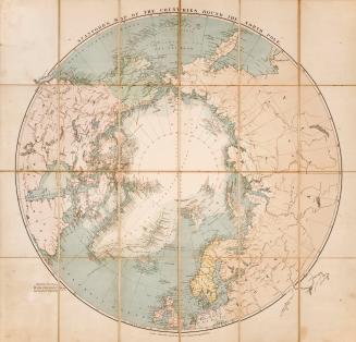
Stanford's map of the countries round the north pole
1875
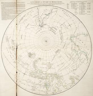
A Southern or Antarctic Hemisphere
Approximately 1773
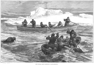
The two voyages of the 'Pandora' in 1875 and 1876 / by Sir Allen Young, R
1879
Map of a portion of British Columbia / compiled from the surveys & explorations of the Royal Navy & Royal Engineers, at the camp, New Westminster Novr. 24th 1859
1859
Map of a portion of British Columbia / compiled from the surveys & explorations of the Royal Navy & Royal Engineers, at the camp, New Westminster Novr. 24th 1859
1859
British Columbia, reduced copy of the map referred to in the despatch of Governor Douglas, dated 16th July, 1861
1861
The discoveries made in the North West parts of Hudson's Bay by Cap't Smith in 1746 & 1747
1768
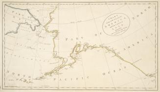
Chart of the N.W. Coast of America, and N.E. Coast of Asia. Explored by Capt. Cook and Capt. Clerke, in the years 1778 & 1779
Approximately 1785
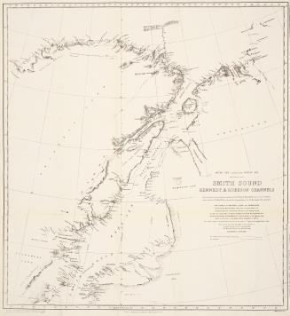
Smith Sound, Kennedy & Robeson Channels
1878
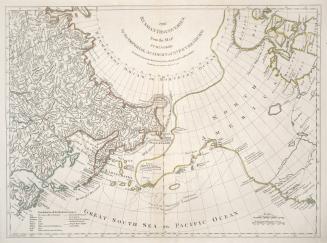
The Russian discoveries, from the map published by the Imperial Academy of St
1775
Arctic Regions
1752
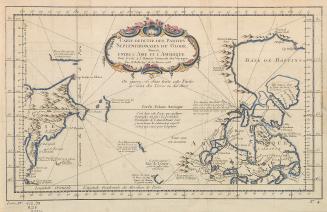
Carte reduite des parties septentrionales du globe situées entre l'Asie et l'Amerique
1758
Arctic expedition, 1875-6 H.M. ships Alert and Discovery captains G.S. Nares, F.R.S. and H.E. Stephenson, R.N.
1878
Explorations in northern Canada and adjacent portions of Greenland and Alaska
1904
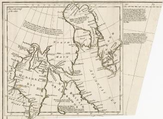
A map of Hudsons Bay and Parts adjacent, from the latest surveys and best authorities
Approximately 1750
Carte reduite des parties septentrionales du globe, situees entre l'Asie et l'Amerique pour servir a l'Histoire Generale des Voyages par M. Bellin, Ingr. de la Marine
1758
C. 6. Chart shewing the North West Passage discovered by Capt. R. LeM. McClure H.M. Ship Investigator also the coast explored in Search of Sir John Franklin
1853
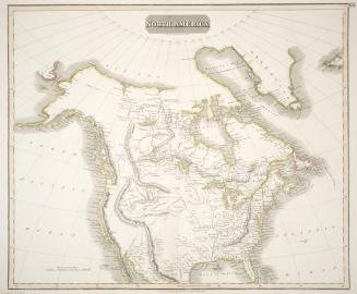
North America
1814
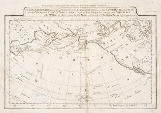
A map of the discoveries made by Capts. Cook & Clerke in the years 1778 & 1779
Approximately 1809
/ 2
Next
RDF
XML
JSON