Skip to main content
Search
Objects
(181,123)
People
(41,122)
Close
Refine Results
Show Only Public Domain
Format
*
Map
(3)
Date
to
Names
Beavis & Browne
(1)
Browne, John Ownsworth, 1808-1881
(1)
Newsome & Brownscombe
(1)
Toronto Board of Trade
(1)
Subject
Maps
(3)
Harbour
(2)
Maps and surveys
(2)
Harbors
(1)
Industrial sites
(1)
Land subdivision
(1)
Parks
(1)
Railroads
(1)
Shipyards
(1)
Warehouses
(1)
Load all
Collection
Baldwin Collection of Canadiana
(3)
Language
English
(3)
Building, monument or park
Toronto Harbour
(1)
City, town or township
Toronto
(3)
Neighbourhood
St. Lawrence
(3)
Leslieville
(2)
Port Lands
(2)
Harbour
(1)
Riverdale
(1)
Toronto Islands
(1)
North-south street
Leslie Street
(2)
Parliament Street
(2)
Yonge Street
(1)
East-west street
*
Queen Street East
(3)
Front Street East
(1)
King Street East
(1)
Sort:
Relevance
Date (Older First)
Date (Newer First)
Title (A–Z)
Title (Z–A)
Last Updated (Ascending)
Last Updated (Descending)
List
Images
Table
/ 1
Filters
3 results for
*
Result type
Objects
People
Map
Queen Street East
Clear All Filters
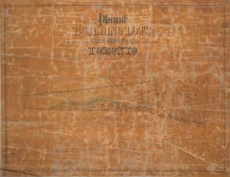
Plan of building lots abutting upon Queen Street East in the city of Toronto
1850
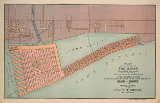
Plan of that portion of the marsh and water frontage, situate southward of lots no5 to 15 inclusive in the broken front con. in the township of York
1889
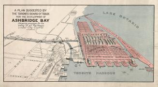
A plan suggested by the Toronto Board of Trade for the development of Ashbridge Bay showing provisions for the entry of all railways under city control
1910
/ 1
RDF
XML
JSON